
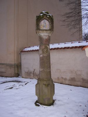
Bildstock, bezeichnet „1642“; ''nicht nachqualifiziert, im Bayerischen Denkmal-Atlas nicht kartiert''
Location: Ellingen
Address: Schmalwieser Weg, bei der Maximilianskirche
GPS coordinates: 49.06023,10.96101
Latest update: October 17, 2025 10:40
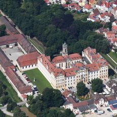
Ellingen Residence
341 m
Cultural Center East Prussia
237 m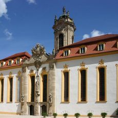
Schlosskirche
363 m
Georgsbrunnen
289 m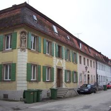
Neue Gasse
439 m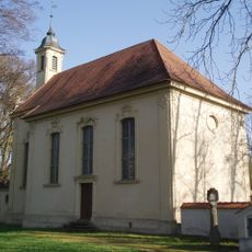
Maximilianskirche
9 m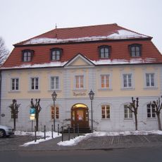
Amtsgericht Ellingen
424 m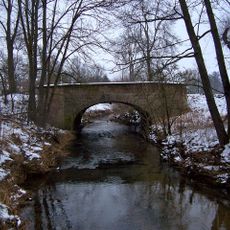
Rezatbrücke
70 m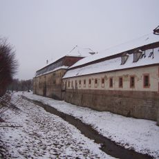
Schlossgraben
275 m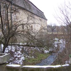
Hofmühlkanal
403 m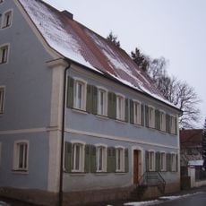
Wohnhaus
383 m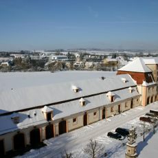
Schloßstraße 17
289 m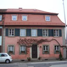
Neue Gasse 3 (Ellingen)
415 m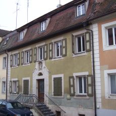
Neue Gasse 17
420 m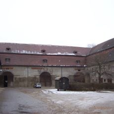
Schloßstraße 19
320 m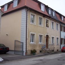
Neue Gasse 9
414 m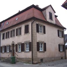
Neue Gasse 12
436 m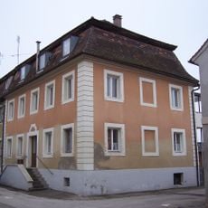
Neue Gasse 15
419 m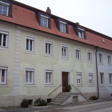
Neue Gasse 16
438 m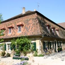
Schloßstraße 21
406 m
Hofbäckerei
423 m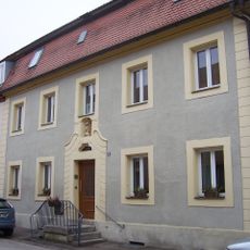
Neue Gasse 21
425 m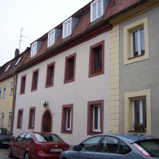
Neue Gasse 23
429 m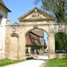
Hofmühltor
404 m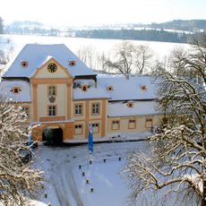
Fürstliche Brauerei
340 m
Ehrenhofanlage
392 m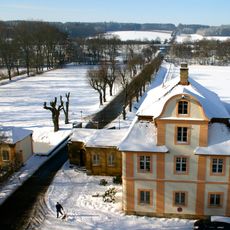
Allee zwischen Brühltor und Einmündung der Ringstraße
133 m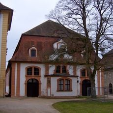
Reitschule
330 mVisited this place? Tap the stars to rate it and share your experience / photos with the community! Try now! You can cancel it anytime.
Discover hidden gems everywhere you go!
From secret cafés to breathtaking viewpoints, skip the crowded tourist spots and find places that match your style. Our app makes it easy with voice search, smart filtering, route optimization, and insider tips from travelers worldwide. Download now for the complete mobile experience.

A unique approach to discovering new places❞
— Le Figaro
All the places worth exploring❞
— France Info
A tailor-made excursion in just a few clicks❞
— 20 Minutes