
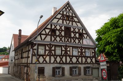
Wohnhaus, building in Wilhermsdorf, Middle Franconia, Germany
Location: Wilhermsdorf
Address: Hauptstraße 44; Hauptstraße 44a; Nähe Hauptstraße
GPS coordinates: 49.48205,10.71496
Latest update: March 3, 2025 01:51
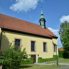
Spitalkirche
156 m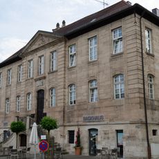
Bau der Ritterschaft,
89 m
Burg Hochmilchling
173 m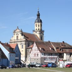
St. Martin und Maria
94 m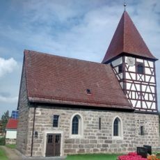
St. Kilian
4.1 km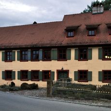
Hubstraße 1
747 m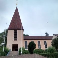
St. Michael
224 m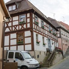
Ehemaliges evangelisches Schulhaus
95 m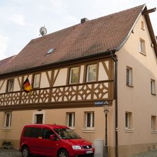
Wohnhaus
90 m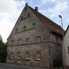
Wohnhaus
3.2 km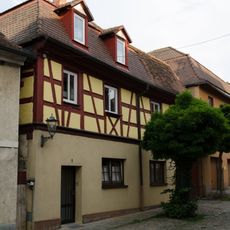
Wohnhaus
33 m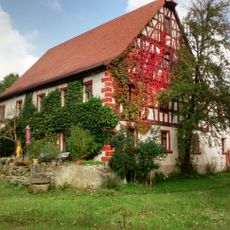
Eichenmühle Neuhof an der Zenn
4.2 km
Steinkreuz an der Straßengabel Wilhermsdorf - Emskirchen
4.4 km
Äußere Windsheimer Strasse 50
2.4 km
Gasthaus
114 m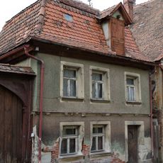
Wohnhaus
17 m
Wohnhaus
169 m
Ehemalige Försterei
204 m
Ehemaliges Kanzleigebäude, jetzt Brauerei
111 m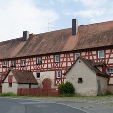
Ehemaliges Spital
242 m
Ehemaliges Redoutenhaus
219 m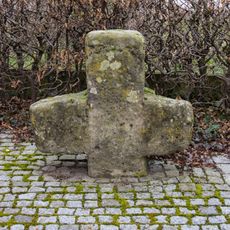
Steinkreuz in Markt Erlbach (1)
4.4 km
Wohnhaus
65 m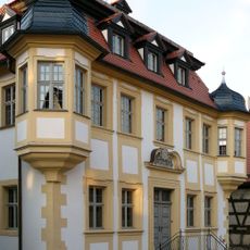
Rathaus, ehemaliges Consulentenhaus
19 m
Schützenhaus
4.3 km
Gasthaus
74 m
Denzelmühle
499 m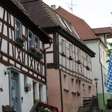
Wohnhaus
103 mReviews
Visited this place? Tap the stars to rate it and share your experience / photos with the community! Try now! You can cancel it anytime.
Discover hidden gems everywhere you go!
From secret cafés to breathtaking viewpoints, skip the crowded tourist spots and find places that match your style. Our app makes it easy with voice search, smart filtering, route optimization, and insider tips from travelers worldwide. Download now for the complete mobile experience.

A unique approach to discovering new places❞
— Le Figaro
All the places worth exploring❞
— France Info
A tailor-made excursion in just a few clicks❞
— 20 Minutes