
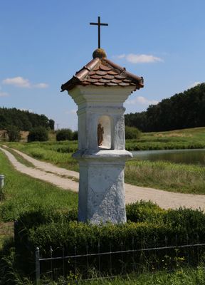
Bildstock, rechteckiger Schaft mit vierseitigem Aufsatz und rundbogiger Nische, darin Muttergottesfigur, biberschwanzgedecktes Dächlein, Bekrönungskreuz, Anfang 18. Jahrhundert
Location: Höchstadt an der Aisch
Address: Ortsausgang nach Großneuses
GPS coordinates: 49.66027,10.79132
Latest update: March 16, 2025 22:05
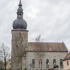
St. Oswald (Lonnerstadt)
4.7 km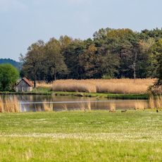
Vogelfreistätte Weihergebiet bei Mohrhof
3.8 km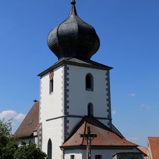
St. Martin
149 m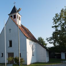
Catholic chapel Saint Joseph in Poppenwind
3.7 km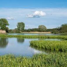
Weihergebiet bei Krausenbechhofen
4.2 km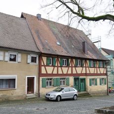
Wohnhaus
4.7 km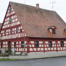
Wohnhaus
4.7 km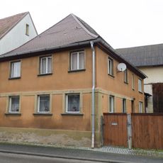
Wohnhaus
4.6 km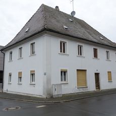
Wohnhaus
4.6 km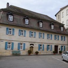
An der Stadtmühle 1
4.7 km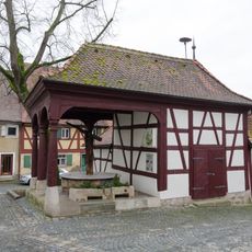
Brunnenhaus
4.7 km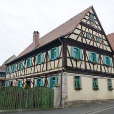
Wohnstallhaus
4.7 km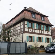
Wohnhaus
4.7 km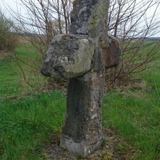
Steinkreuz bei Mailach
4 km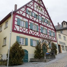
Ehemalige Brauerei Schorr
4.7 km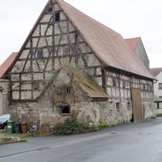
Ehemalige Zehntscheune
4.6 km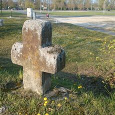
Steinkreuz in Höchstadt (2)
4.4 km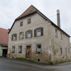
Wohnhaus
4.6 km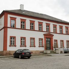
Ehemaliges Amtsgericht
4.7 km
Schloss Höchstadt
4.7 km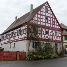
Wohnstallhaus
4.7 km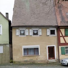
Wohnhaus
4.7 km
Kirchhofbefestigung Marktplatz 13 in Lonnerstadt
4.7 km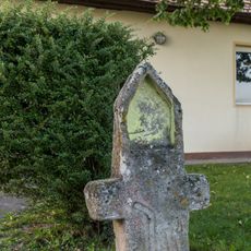
Steinkreuz in Krausenbechhofen
4.3 km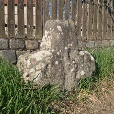
Steinkreuz in Voggendorf
4.3 km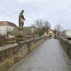
Alte Brücke über die Aisch
4.6 km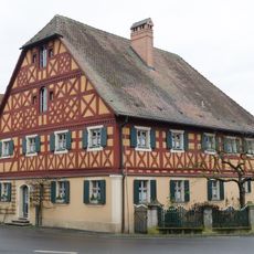
Wohnhaus
4.7 km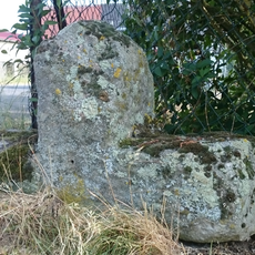
Steinkreuz in Peppenhöchstädt
2.9 kmReviews
Visited this place? Tap the stars to rate it and share your experience / photos with the community! Try now! You can cancel it anytime.
Discover hidden gems everywhere you go!
From secret cafés to breathtaking viewpoints, skip the crowded tourist spots and find places that match your style. Our app makes it easy with voice search, smart filtering, route optimization, and insider tips from travelers worldwide. Download now for the complete mobile experience.

A unique approach to discovering new places❞
— Le Figaro
All the places worth exploring❞
— France Info
A tailor-made excursion in just a few clicks❞
— 20 Minutes