
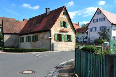
Ehemaliges Gemeindehaus, building in Kalchreuth, Middle Franconia, Germany
Location: Kalchreuth
Address: Birkgartenstraße 1
GPS coordinates: 49.56641,11.14811
Latest update: March 7, 2025 05:56
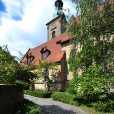
St. Andreas
1.5 km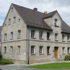
Ehemalige Schule
1.5 km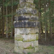
Bannwalddenkmal
1.9 km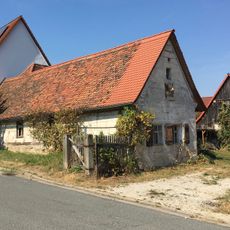
Kleinbauernanwesen
1.5 km
Kleinhaus
1.6 km
Bauernanwesen, Wohnhaus
174 m
Bauernhaus
1.5 km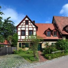
Ehemaliger Bauernhof, Wohnstallhaus
143 m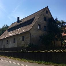
Bauernanwesen
1.5 km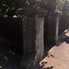
Barocke Hoftorpfosten mit Radabweisern und Kugelaufsätzen
1.5 km
Wohnhaus
145 m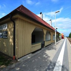
Stationsgebäude mit integrierter Güterabfertigung
1.1 km
Ehemaliger Herrensitz Oberschöllenbach
1.5 km
Wohnstallhaus
1.7 km
Gasthaus Zur Linde
1.9 km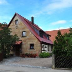
Kleinhaus
1.5 km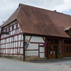
Ehemalige Zehntscheune
1.6 km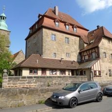
Schloss Kalchreuth
1.5 km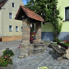
Ziehbrunnen
99 m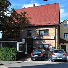
Gasthaus
919 m
Sogenanntes Schlösschen
1.5 km
Wohnstallhaus
137 m
Wohnhaus
948 m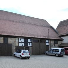
Sogenannter Lonäïs Stodel
1.3 km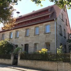
Bauernhaus
1.5 km
Kleinbauernanwesen
1.5 km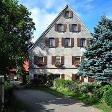
Wohnhaus
1.9 km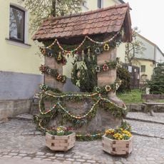
Easter fountains in Röckenhof
109 mReviews
Visited this place? Tap the stars to rate it and share your experience / photos with the community! Try now! You can cancel it anytime.
Discover hidden gems everywhere you go!
From secret cafés to breathtaking viewpoints, skip the crowded tourist spots and find places that match your style. Our app makes it easy with voice search, smart filtering, route optimization, and insider tips from travelers worldwide. Download now for the complete mobile experience.

A unique approach to discovering new places❞
— Le Figaro
All the places worth exploring❞
— France Info
A tailor-made excursion in just a few clicks❞
— 20 Minutes