
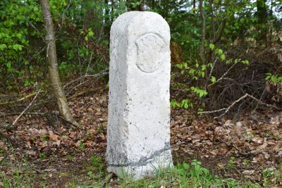
Grenzstein, mit den Wappen der Grafen Tilly und des Kurfürstentums Bayern, Kalkstein, bezeichnet mit 1652
Location: Breitenbrunn
Address: Hextal
GPS coordinates: 49.10015,11.58187
Latest update: March 22, 2025 03:37

St. Martin
2.9 km
Zur Schmerzhaften Muttergottes
3.3 km
Wissing - Unterdorf 14
3.3 km
St. Pankratius
1 km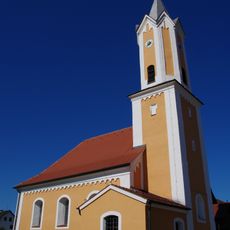
St. Georg (Dürn)
1.7 km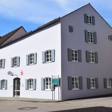
Ehemaliges Wohnhaus
3.4 km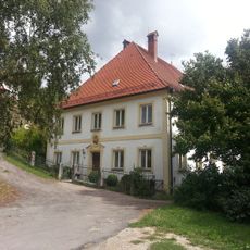
Ehemaliges Pfarrhaus
3.4 km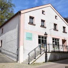
Wohn- und Geschäftshaus
3.4 km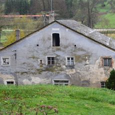
Mühlengebäude
3 km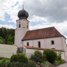
Cultural heritage D-3-6935-0150 in Dietfurt an der Altmühl
2.9 km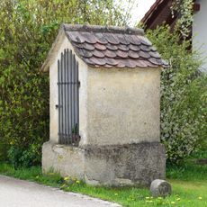
Bildstock
2.3 km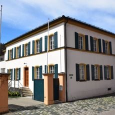
Ehemaliges Schulhaus, jetzt Pfarrhaus
3.4 km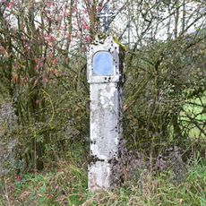
Bildstock am Krebsgangweg
2.6 km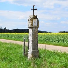
Bildstock
2.4 km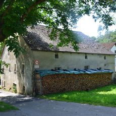
Mühlengebäude
2.7 km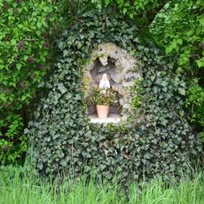
Mariengrotte
1.7 km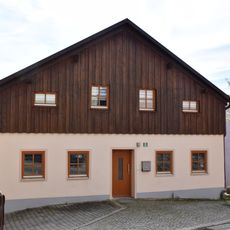
Wohnhaus
3.4 km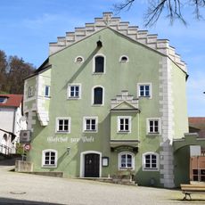
Gasthof zur Post
3.4 km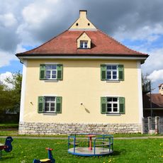
Pfarrhaus
975 m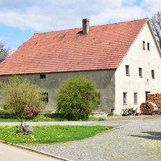
Wohnstallhaus
2.2 km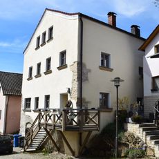
Wohnhaus
3.4 km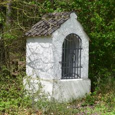
Herz-Jesu-Bildstock
3.3 km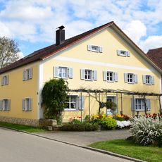
Ehemaliges Wohnstallhaus
811 m
Wasserstauanlagen am Flußlauf der Wissinger Laaber
2.6 km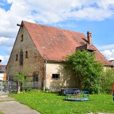
Scheune Kirchenweg 10 in Breitenbrunn (Oberpfalz)
957 m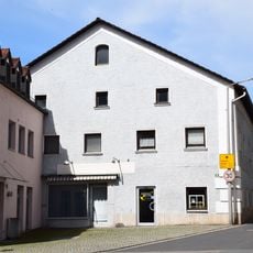
Wohn- und Geschäftshaus
3.4 km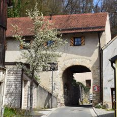
Torhaus
3.4 km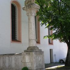
Kriegerdenkmal für die Gefallenen von 1914/18 und 1939/45
3.4 kmReviews
Visited this place? Tap the stars to rate it and share your experience / photos with the community! Try now! You can cancel it anytime.
Discover hidden gems everywhere you go!
From secret cafés to breathtaking viewpoints, skip the crowded tourist spots and find places that match your style. Our app makes it easy with voice search, smart filtering, route optimization, and insider tips from travelers worldwide. Download now for the complete mobile experience.

A unique approach to discovering new places❞
— Le Figaro
All the places worth exploring❞
— France Info
A tailor-made excursion in just a few clicks❞
— 20 Minutes