
Steinmarterl, um 1700; ca. 150 m nördlich des Bayerischen Brückl
Location: Poppenricht
Address: Birkenleite, Feldweg zwischen Karmensölden und Wirnsricht
GPS coordinates: 49.46809,11.78524
Latest update: March 10, 2025 00:22

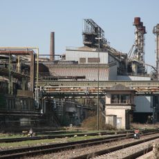
Maxhütte
2.5 km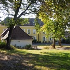
Ehemaliges Schlösschen Franziskaruhe, später Werkskasino der Maxhütte
3 km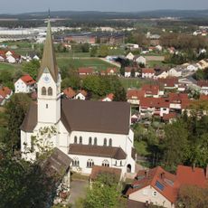
Herz-Jesu-Kirche
2.9 km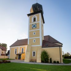
St. Michael
1.6 km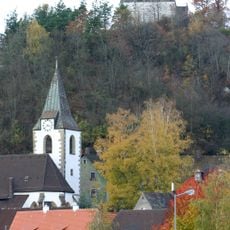
Burgstall Rosenberg
2.9 km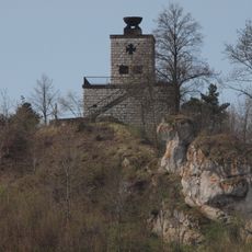
Kriegerdenkmal für die Gefallenen des Ersten Weltkriegs
2.9 km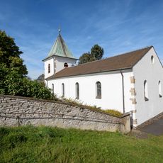
Katholische Pfarrkirche St. Barbara
3.2 km
St. Johannes Baptist
2.9 km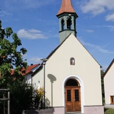
Marienkapelle
3.2 km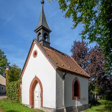
Dorfkapelle Hl. Familie
3.1 km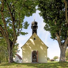
Hofkapelle St. Anna Selbdritt
583 m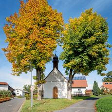
Dorfkapelle Herz-Jesu
2.3 km
Dorfkapelle Mariä Heimsuchung
1.8 km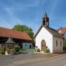
Kapelle Beata Maria Virgo
1.8 km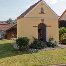
Marienkapelle
3.2 km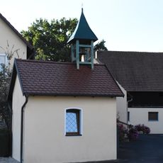
Katholische Marienkapelle
2.3 km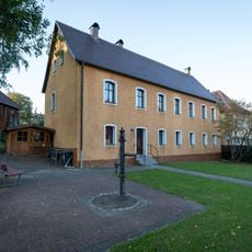
Ehemaliges katholische Schulhaus
1.6 km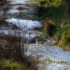
Ammerbachtal
3.2 km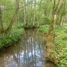
Breitenbrunner Tal
3 km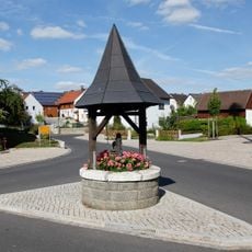
Steinbrunnen
3.2 km
Ehemaliger Edelmannsitz, Teilgebäude des sogenannten Schlösschens
2.2 km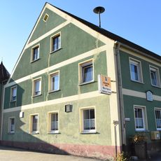
Gasthaus und ehemalige Posthalterei
1.5 km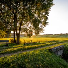
Sogenanntes Bayerisches Brückl
94 m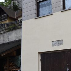
Ehemaliges Wohnhaus des Rosenberger Hofmarkherren Johann Georg Korb
3 km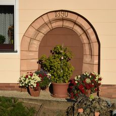
Rundbogenportal
1.5 km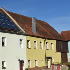
Ehemaliger Edelmannsitz, Teilgebäude des sogenannten Schlösschens
2.2 km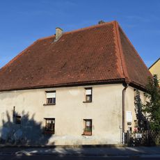
Ehemaliges Gutshaus
2.2 km
Rundturm
3 kmReviews
Visited this place? Tap the stars to rate it and share your experience / photos with the community! Try now! You can cancel it anytime.
Discover hidden gems everywhere you go!
From secret cafés to breathtaking viewpoints, skip the crowded tourist spots and find places that match your style. Our app makes it easy with voice search, smart filtering, route optimization, and insider tips from travelers worldwide. Download now for the complete mobile experience.

A unique approach to discovering new places❞
— Le Figaro
All the places worth exploring❞
— France Info
A tailor-made excursion in just a few clicks❞
— 20 Minutes