
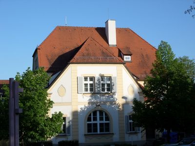
Erlenstegenstraße 18, building in Nuremberg, Middle Franconia, Germany
Location: Nuremberg
Address: Erlenstegenstraße 18
GPS coordinates: 49.46728,11.12809
Latest update: March 7, 2025 21:38
Platnersberg (Nuremberg-Erlenstegen)
449 m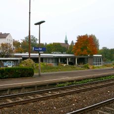
Nürnberg Ost
582 m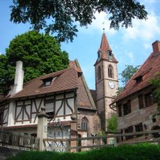
Kirchenberg 15
611 m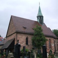
St. Jobst
581 m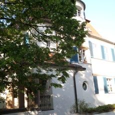
Erlenstegenstraße 28
142 m
Grimmstraße 3
155 m
Erlenstegenstraße 44
270 m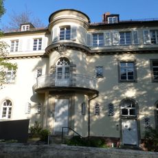
Erlenstegenstraße 40
223 m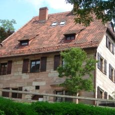
Kirchenberg 13
654 m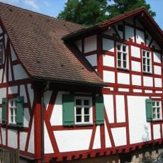
Kirchenberg 5
637 m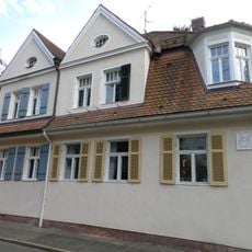
Schilfstraße 5-7
623 m
Erlenstegenstraße 39 (D-5-64-000-2516)
212 m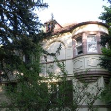
Erlenstegenstraße 54
380 m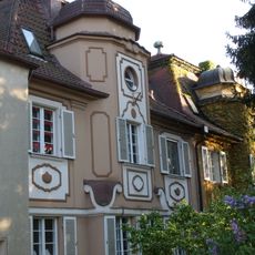
Erlenstegenstraße 16-16a
54 m
Stielerstraße
452 m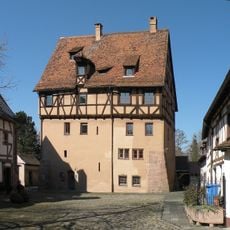
Kirchenberg 7
622 m
Kirchenberg 1
638 m
Kirchenberg 9 (D-5-64-000-998)
644 m
Kirchenberg 11
635 m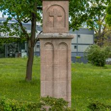
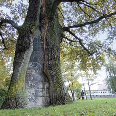
Martersäule
439 m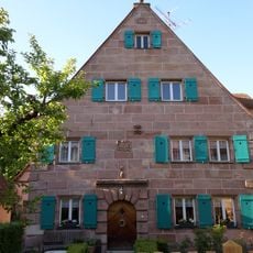
Ziegenstraße 27
638 m
Kapferstraße 4-6 Ebenseestraße 3
616 m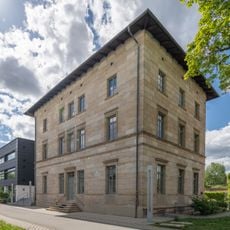
Ehemaliges Bahnhofsgebäude Ostbahnhof-Güterbahnhofs
560 m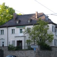
Erlenstegenstraße 53
367 m
Ehemaliges Pfarrhaus
557 m
Ebenseestraße 5-7
640 m
Kapferstraße 8-14 (D-5-64-000-2320)
578 m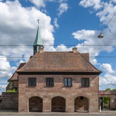
Schulgebäude Äußere Sulzbacher Straße 138 in Nürnberg
585 mReviews
Visited this place? Tap the stars to rate it and share your experience / photos with the community! Try now! You can cancel it anytime.
Discover hidden gems everywhere you go!
From secret cafés to breathtaking viewpoints, skip the crowded tourist spots and find places that match your style. Our app makes it easy with voice search, smart filtering, route optimization, and insider tips from travelers worldwide. Download now for the complete mobile experience.

A unique approach to discovering new places❞
— Le Figaro
All the places worth exploring❞
— France Info
A tailor-made excursion in just a few clicks❞
— 20 Minutes