
Kriegergedächtnisstätte
Kriegergedächtnisstätte, ehrenhain mit Tetrapylon aus Granitbruch- und -haustein, davor Stufenanlage und Ehrengrab mit Bronzeschale, 1928/32 von Max Stückl;
Location: Furth im Wald
Address: Nähe Hochstraße
GPS coordinates: 49.31723,12.84361
Latest update: April 5, 2025 10:54
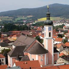
Mariä Himmelfahrt
1 km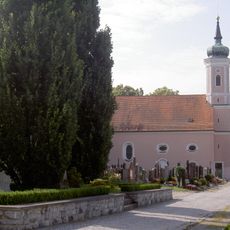
Hl. Kreuz Kirche
526 m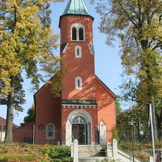
Zachäuskirche
690 m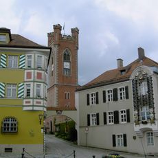
Stadtvilla, sogenannte Perlinger-Villa
1 km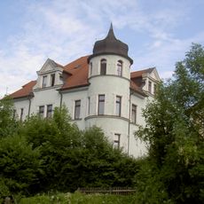
Dostert-Villa
759 m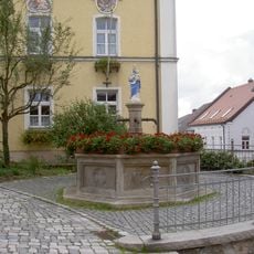
Marienbrunnen
1.1 km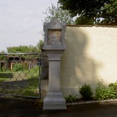
Kreuzweg (Hl. Kreuz Kirche, Furth im Wald)
646 m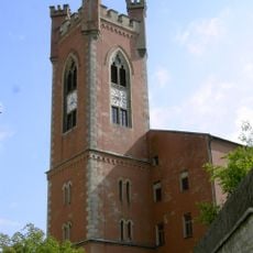
City Tower
1 km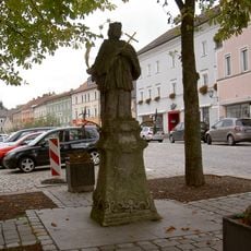
Ehemaliges Hotel
970 m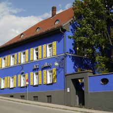
Bahnhofstraße 3
817 m
Wohnhaus
1.1 km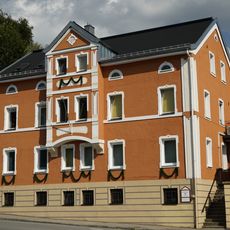
Bahnhofstraße 5
825 m
Badtor
1.1 km
Stückl-Villa
656 m
Rathaus Furth im Wald
1.1 km
Bahnhof Furth im Wald
891 m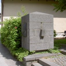
Waldschmidt memorial
994 m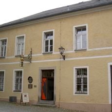
Spital
1 km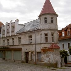
Wohn- und Geschäftshaus
1.1 km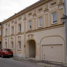
Wohnhaus
850 m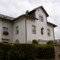
Sogenannter Lärmerturm
1 km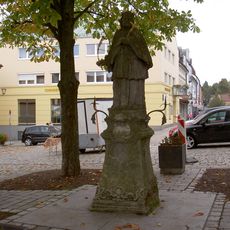
Figur des hl. Nepomuk
1 km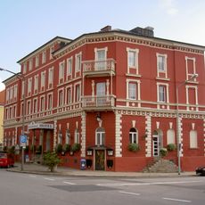
Hotel Hohen Bogen
926 m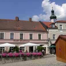
Wohn- und Geschäftshaus
1 km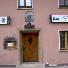
Furth im Wald Himmelreichweg 7
1.1 km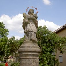
Figur des hl. Johannes Nepomuk
1.1 km
Wohn- und Geschäftshaus
935 m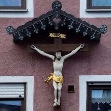
Hauskruzifix
1 kmVisited this place? Tap the stars to rate it and share your experience / photos with the community! Try now! You can cancel it anytime.
Discover hidden gems everywhere you go!
From secret cafés to breathtaking viewpoints, skip the crowded tourist spots and find places that match your style. Our app makes it easy with voice search, smart filtering, route optimization, and insider tips from travelers worldwide. Download now for the complete mobile experience.

A unique approach to discovering new places❞
— Le Figaro
All the places worth exploring❞
— France Info
A tailor-made excursion in just a few clicks❞
— 20 Minutes