
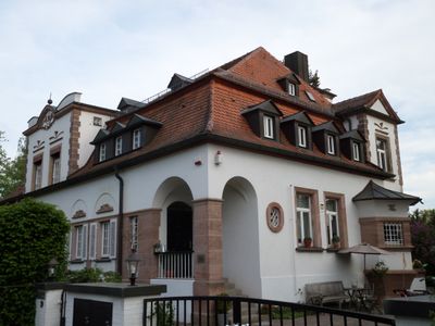
Im Weller 29, building in Nuremberg, Middle Franconia, Germany
Location: Nuremberg
Address: Im Weller 29
GPS coordinates: 49.46719,11.14264
Latest update: March 3, 2025 02:14
Erlenstegen
830 m
Pegnitztal Ost
702 m
Tiefgraben und Kohlbuck
684 m
Zur schmerzhaften Mutter
357 m
Günthersbühler Straße 15
799 m
Erlenstegenstraße 54
847 m
Erlenstegenstraße 111 (D-5-64-000-440)
715 m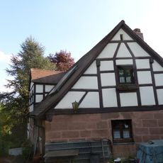
Erlenstegenstraße 112
589 m
Schilfstraße 5-7
435 m
Erlenstegenstraße 95
754 m
Kohlbuckweg 9
701 m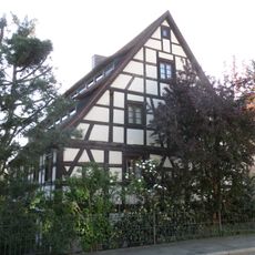
Günthersbühler Straße 7 (D-5-64-000-686)
729 m
Erlenstegenstraße 108
599 m
Voßstraße 19a
774 m
Erlenstegenstraße 106 (D-5-64-000-438)
608 m
Föhrenstraße
531 m
Ziegenstraße 20 (D-5-64-000-2508)
862 m
Ziegenstraße 27
831 m
Schloss Unterbürg
398 m
Erlenstegenstraße 93
754 m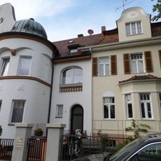
Kapferstraße 4-6 Ebenseestraße 3
437 m
Zapfengasse 5
761 m
Kapferstraße 8-14 (D-5-64-000-2320)
475 m
Ebenseestraße 5-7
414 m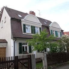
Ebenseestraße 2a-4 (D-5-64-000-2295)
387 m
Ensemble Villenkolonie Ebensee
382 m
Erlenstegenstraße 116-118
574 m
Erlenstegenstraße 89 (D-5-64-000-435)
769 mReviews
Visited this place? Tap the stars to rate it and share your experience / photos with the community! Try now! You can cancel it anytime.
Discover hidden gems everywhere you go!
From secret cafés to breathtaking viewpoints, skip the crowded tourist spots and find places that match your style. Our app makes it easy with voice search, smart filtering, route optimization, and insider tips from travelers worldwide. Download now for the complete mobile experience.

A unique approach to discovering new places❞
— Le Figaro
All the places worth exploring❞
— France Info
A tailor-made excursion in just a few clicks❞
— 20 Minutes