
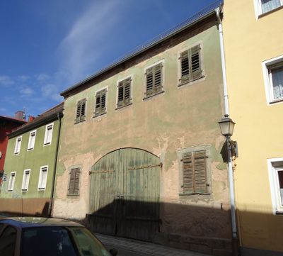
Stadel, zweigeschossiger, traufständiger und verputzter Bruchsteinbau mit Satteldach, stichbogiger Toreinfahrt und Granitfaschen, um 1815; ehemals zu Maximilianplatz 33 gehörig
Location: Tirschenreuth
Address: Nähe Schmellerstraße
GPS coordinates: 49.87790,12.33597
Latest update: March 5, 2025 15:44
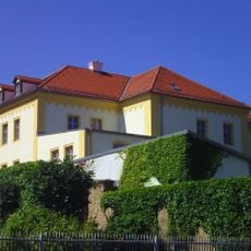
Museumsquartier Tirschenreuth
237 m
Fatimakirche (Tirschenreuth)
221 m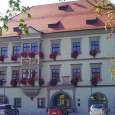
Rathaus Tirschenreuth
85 m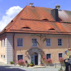
Pfarrhof (Tirschenreuth)
178 m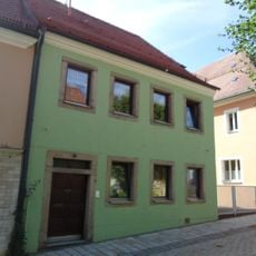
Wohnhaus
49 m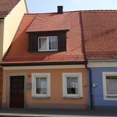
Wohnhaus
242 m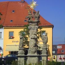
Pestvotivsäule, sogenannte Dreifaltigkeitssäule
128 m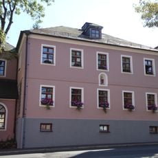
Ehemaliges Benefiziatenhaus
235 m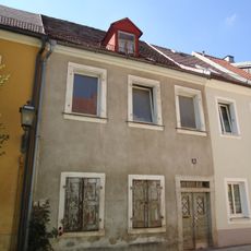
Wohnhaus
138 m
Ehemaliges Ackerbürgeranwesen
179 m
Ehemalige Fronveste, später Waldsassener Kasten und Rentamt
191 m
Gasthof und Wohnhaus
128 m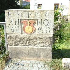
Gedenkstein für Kurfürst Friedrich V.
335 m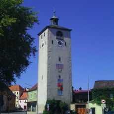
Klettnersturm
203 m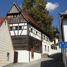
Ehemaliges Wohnstallhaus, sogenanntes Matheshaus
118 m
Wohnhaus
180 m
Wohnhaus
184 m
Wohnhaus
176 m
Ehemaliges Wirtshaus
213 m
Ehemaliges Hospital
211 m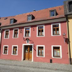
Wohnhaus
221 m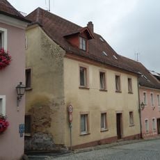
Ehemaliges Bäckerhaus
232 m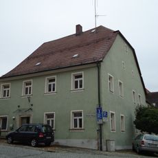
Wohnhaus
202 m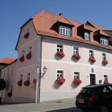
Wohnhaus
208 m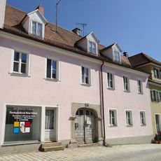
Wohnhaus
32 m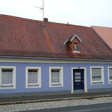
Wohnhaus
245 m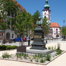
Denkmal des Germanisten und bayerischen Sprachforschers Johann Andreas Schmeller
91 m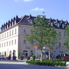
Ehemalige Posthalterei, jetzt Wohn- und Geschäftshaus
90 mReviews
Visited this place? Tap the stars to rate it and share your experience / photos with the community! Try now! You can cancel it anytime.
Discover hidden gems everywhere you go!
From secret cafés to breathtaking viewpoints, skip the crowded tourist spots and find places that match your style. Our app makes it easy with voice search, smart filtering, route optimization, and insider tips from travelers worldwide. Download now for the complete mobile experience.

A unique approach to discovering new places❞
— Le Figaro
All the places worth exploring❞
— France Info
A tailor-made excursion in just a few clicks❞
— 20 Minutes