
Bildstock, mit Laterne, 2. Hälfte 16. Jahrhundert; nördlich
Location: Untergriesbach
Address: nördlich des Orts
GPS coordinates: 48.56174,13.67356
Latest update: November 14, 2025 06:36
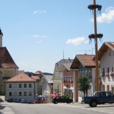
Ensemble Marktplatz/Marktstraße
1.4 km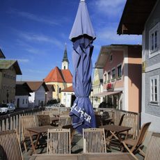
Gasthaus Lanz
1.4 km
Kapelle
1.3 km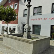
Brunnen mit Figur des hl. Johannes v. Nepomuk
1.4 km
Wohnhaus
1.4 km
Türgewände
1.3 km
Bildstock
435 m
Wohnhaus eines ehem. Bauernhofes
1.3 km
Wohnhaus
1.3 km
Wohnhaus
1.3 km
Drei klassizistische Stuckreliefs
1.3 km
Türgewände
1.3 km
Einfirsthof
197 m
Wohnhaus
1.4 km
Wohnhaus
1.4 km
Wohnhaus
1.4 km
Türgewände
1.3 km
Kruzifix mit Arma Christi
951 m
Gr. Holzkreuz
924 m
Wayside cross
1.3 km
Gedenkstein-Gottessegen... 1961- 1971
738 m
Wayside shrine
435 m
Wayside cross
486 m
Wayside cross
763 m
Drei Frauen
611 m
St. Nepomuk-Statue
1.4 km
Wayside cross
948 m
Wayside cross
1.4 kmReviews
Visited this place? Tap the stars to rate it and share your experience / photos with the community! Try now! You can cancel it anytime.
Discover hidden gems everywhere you go!
From secret cafés to breathtaking viewpoints, skip the crowded tourist spots and find places that match your style. Our app makes it easy with voice search, smart filtering, route optimization, and insider tips from travelers worldwide. Download now for the complete mobile experience.

A unique approach to discovering new places❞
— Le Figaro
All the places worth exploring❞
— France Info
A tailor-made excursion in just a few clicks❞
— 20 Minutes