
Ehemaliges Wohnstallhaus, building in Bischofsmais, Lower Bavaria, Germany
Location: Bischofsmais
Address: Dorfstraße 5
GPS coordinates: 48.91744,13.08058
Latest update: April 9, 2025 00:59
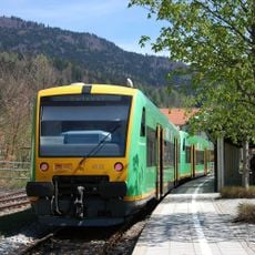
Bavarian Forest Railway
4.5 km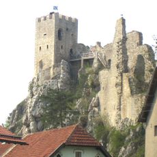
Weißenstein Castle
5.8 km
Rusel
4.5 km
Geißkopf
3.2 km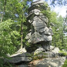
Teufelstisch
2.1 km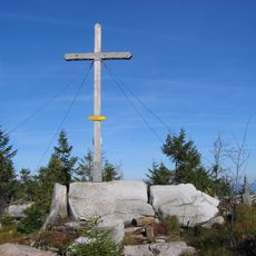
Einödriegel
4 km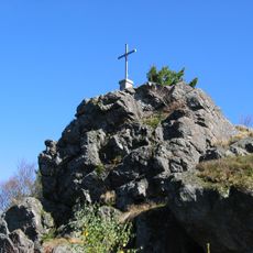
Breitenauriegel
3.9 km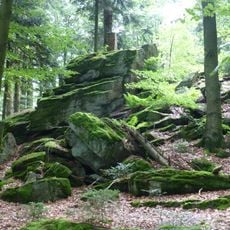
Hausstein
5.2 km
Todtenau und umgebende Auen
5.5 km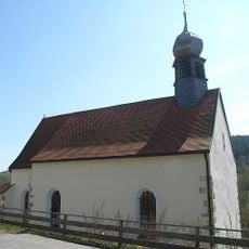
Sankt Johann in Regen
6.1 km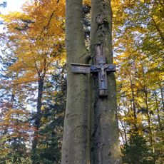
Geißriegel
5.5 km
Cultural heritage D-2-7044-0001 in Bischofsmais
2.5 km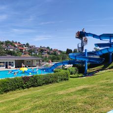
Freibad Regen
6 km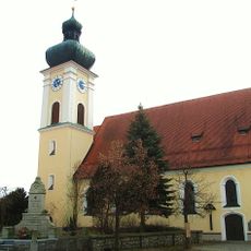
St. Petrus und Paulus (March)
6.5 km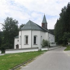
Katholische Wallfahrtskirche St. Bartholomäus
769 m
Unsere liebe Frau vom Berge Karmel
6.4 km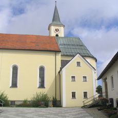
St. Jakobus der Ältere
72 m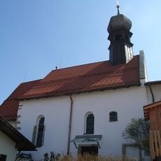
Heilig-Geist-Spitalkirche in Regen
6.6 km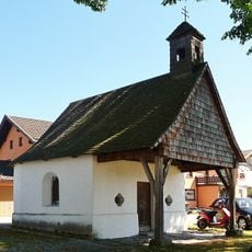
Ortskapelle
4.4 km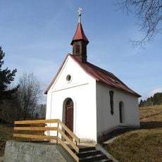
Ortskapelle
3.6 km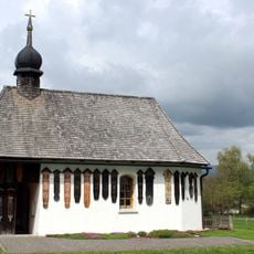
Kapellenbau
5.9 km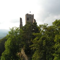
Pfahl bei der Ruine Weißenstein
5.8 km
Todtenau
5.5 km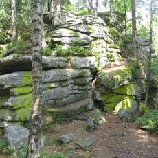
Gipfelgrat des Teufelstischs NW von Bischofsmais
2 km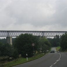
Eisenbahnbrücke
5.3 km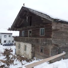
Wohnhaus eines ehemaligen Dreiseithofs
6.5 km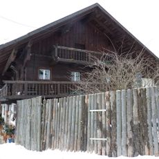
Wohnstallhaus, ehemaliges Inhaus zum Gasthof
6.4 km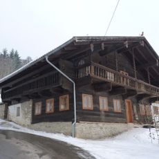
Wohnhaus, ehemaliger Gasthof
6.4 kmReviews
Visited this place? Tap the stars to rate it and share your experience / photos with the community! Try now! You can cancel it anytime.
Discover hidden gems everywhere you go!
From secret cafés to breathtaking viewpoints, skip the crowded tourist spots and find places that match your style. Our app makes it easy with voice search, smart filtering, route optimization, and insider tips from travelers worldwide. Download now for the complete mobile experience.

A unique approach to discovering new places❞
— Le Figaro
All the places worth exploring❞
— France Info
A tailor-made excursion in just a few clicks❞
— 20 Minutes