
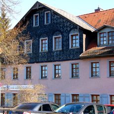
Wohnhaus, building in Fürth, Middle Franconia, Germany
Location: Fürth
Address: Angerstraße 20
GPS coordinates: 49.48104,10.98642
Latest update: March 10, 2025 05:10

Schießplatz 18-20
33 m
Angerstraße 2, ehemals Heiligenstraße 3
122 m
Wilhelm-Löhe-Straße 5
136 m
Marktplatz 7/9 (Fürth)
132 m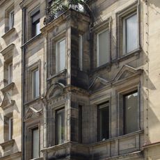
Angerstraße 1a
93 m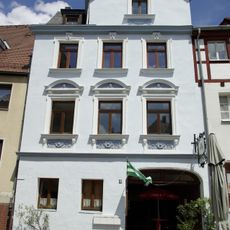
Königstraße 31
136 m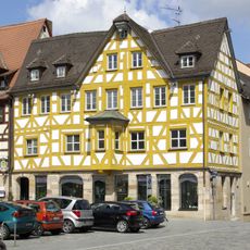
Marktplatz 11
126 m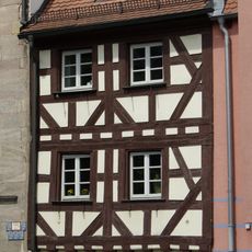
Wohnhaus
134 m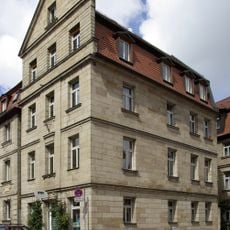
Heiligenstraße 5
122 m
Ehemaliges Gärtnerhaus
57 m
Mietshaus
83 m
Mietshaus
70 m
Marktplatz 5
136 m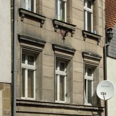
Heiligenstraße 13
123 m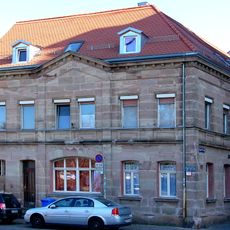
Wohnhaus in Ecklage
17 m
Mietshaus in Ecklage
28 m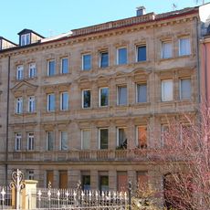
Mietshaus
97 m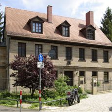
Schießplatz 5
100 m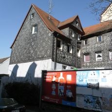
Wohnhaus
98 m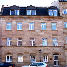
Wohnhaus
69 m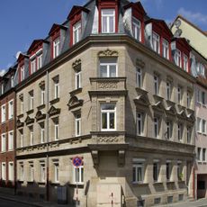
Mietshaus in Ecklage
44 m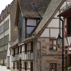
Wilhelm-Löhe-Straße 3
134 m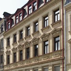
Mietshaus
82 m
Mietshaus
73 m
Angerstraße 2
125 m
Mietshaus
103 m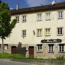
Heiligenstraße 17 (Fürth)
122 m
Scheune
120 mReviews
Visited this place? Tap the stars to rate it and share your experience / photos with the community! Try now! You can cancel it anytime.
Discover hidden gems everywhere you go!
From secret cafés to breathtaking viewpoints, skip the crowded tourist spots and find places that match your style. Our app makes it easy with voice search, smart filtering, route optimization, and insider tips from travelers worldwide. Download now for the complete mobile experience.

A unique approach to discovering new places❞
— Le Figaro
All the places worth exploring❞
— France Info
A tailor-made excursion in just a few clicks❞
— 20 Minutes