
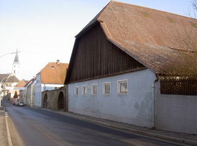
Moosbach Hauptstraße 27 und 29
Moosbach Hauptstraße 27 und 29, bauernhof, Mitte 19. Jahrhundert, im Kern 17./18. Jahrhundert, Dreiseitanlage mit Halbwalmdächern und Hofmauer, innen erneuert
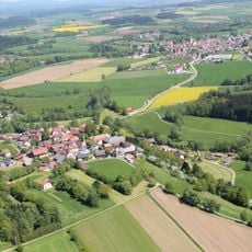
Location: Moosbach
Address: Hauptstraße 27; Hauptstraße 29
GPS coordinates: 49.59052,12.41074
Latest update: April 8, 2025 04:05
Burgtreswitz
1.6 km
Schloss Burgtreswitz
1.6 km
Wieskirche (Grub)
385 m
Peter und Paul Kirche (Moosbach)
175 m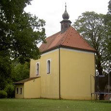
St. Matthäus
3.1 km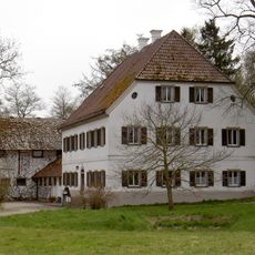
Hammerhaus Gröbenstädt
844 m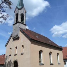
Mariä Unbefleckte Empfängnis (Burgtreswitz)
1.6 km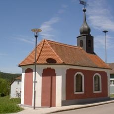
Dorfkapelle
2.1 km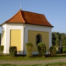
Chapel of Saint Sebastian (Burgtreswitz)
1.2 km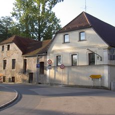
Wohnhaus
1.5 km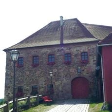
Cultural heritage D-3-6440-0048 in Moosbach (Oberpfalz)
1.6 km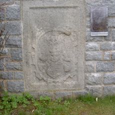
Friedhof Moosbach (Upper Palatinate)
157 m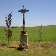
Wegkreuz
1.9 km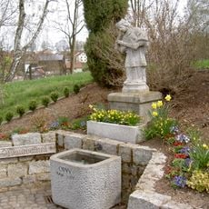
Steinerne Brunnenfigur hl. Johannes von Nepomuk
286 m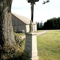
Wegkreuz
3.3 km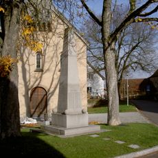
Granitobelisk
1.6 km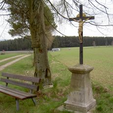
Delling-Kreuz Braunetsried
3.4 km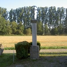
Kreuz
1.2 km
Moosbach Hauptstraße 21
62 m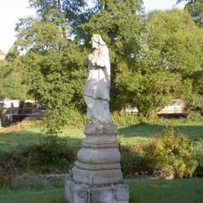
Steinfigur hl. Johannes von Nepomuk
1.4 km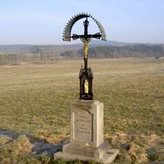
Wegkreuz
842 m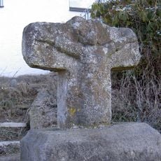
Steinkreuz mit Relief des Gekreuzigten
151 m
Felsenkeller
76 m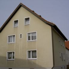
Moosbach Raiffeisenstraße 8
308 m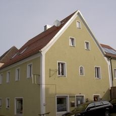
Moosbach Hauptstraße 25
16 m
Moosbach Hauptstraße 23
45 m
Geschnitzte Eingangstüre
143 m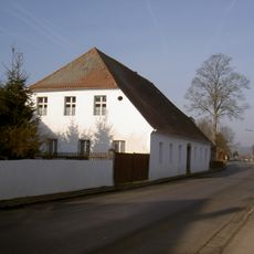
Moosbach Burgtreswitzer Straße 5
382 mVisited this place? Tap the stars to rate it and share your experience / photos with the community! Try now! You can cancel it anytime.
Discover hidden gems everywhere you go!
From secret cafés to breathtaking viewpoints, skip the crowded tourist spots and find places that match your style. Our app makes it easy with voice search, smart filtering, route optimization, and insider tips from travelers worldwide. Download now for the complete mobile experience.

A unique approach to discovering new places❞
— Le Figaro
All the places worth exploring❞
— France Info
A tailor-made excursion in just a few clicks❞
— 20 Minutes