
Wasserschutzgebiet Impfingen, Wasserschutzgebiet im Main-Tauber-Kreis in Baden-Württemberg
Location: Tauberbischofsheim
Part of: Water protection areas in Main-Tauber-Kreis
GPS coordinates: 49.64059,9.65993
Latest update: March 4, 2025 05:56

St. Nikolaus
716 m
VS-Schulmuseum
1.4 km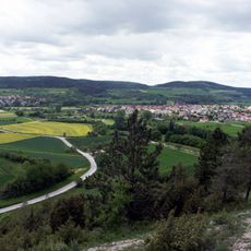
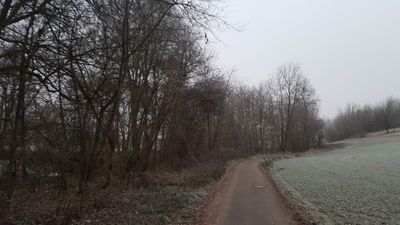
Main-Tauber-Tal
214 m
Kreuzweg
834 m
Friedhofskapelle
847 m
Mariengrotte
728 m
Hauptzollamt Heilbronn – Zollamt Tauberbischofsheim
689 m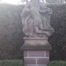
Bildstock
700 m
Naturdenkmal 1 Linde Ortsetter
829 m
Jakobusbrunnen
799 m
Bildstock
1.2 km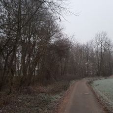
Naturdenkmal Auewald Schollenwirt Impfinger Grund/Unteres Brücklein
87 m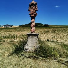
Bildstock
506 m
Bildstock
907 m
Raiffeisen Baucenter Tauberbischofsheim
1.1 km
Bildstock
843 m
Bildstock
805 m
Bildstock
1.1 km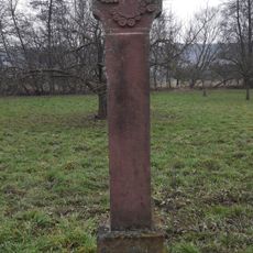
Bildstock
130 m
Bildstock
1.4 km
Kriegerdenkmal
854 m
Sühnekreuz Tauberbischofsheim XVIII
1.3 km
Hauskapelle im Alten Seniorenzentrum Haus Heimberg
1.4 km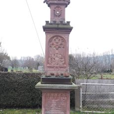
Bildstock
649 m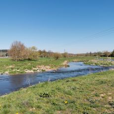
Tauberinsel
682 m
Bildstock
886 m
Bildstock
1.3 km
Wedding Forest Tauberbischofsheim
1.4 kmReviews
Visited this place? Tap the stars to rate it and share your experience / photos with the community! Try now! You can cancel it anytime.
Discover hidden gems everywhere you go!
From secret cafés to breathtaking viewpoints, skip the crowded tourist spots and find places that match your style. Our app makes it easy with voice search, smart filtering, route optimization, and insider tips from travelers worldwide. Download now for the complete mobile experience.

A unique approach to discovering new places❞
— Le Figaro
All the places worth exploring❞
— France Info
A tailor-made excursion in just a few clicks❞
— 20 Minutes