
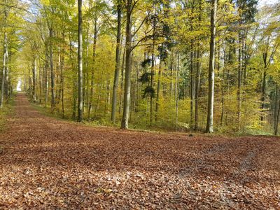
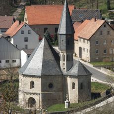
Nordöstliches Tauberland, protected area in the European Union defined by the habitats directive in Baden-Württemberg, Germany
Location: Großrinderfeld
Location: Grünsfeld
Location: Tauberbischofsheim
Location: Werbach
Location: Lauda-Königshofen
Inception: 2004
GPS coordinates: 49.64519,9.73122
Latest update: March 13, 2025 19:52
St. Achatius Kapelle
2.4 km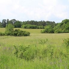
Brachenleite bei Tauberbischofsheim
2.4 km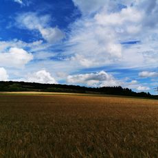
Hammberg
3.3 km
Rötensteinbrücke
3.1 km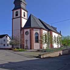
St. Michael
2.3 km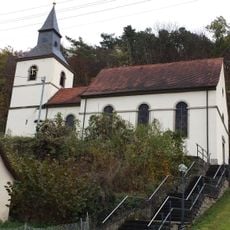
St. Laurentius
1.8 km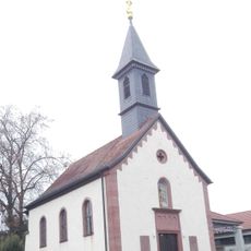
Friedhofskapelle
2.4 km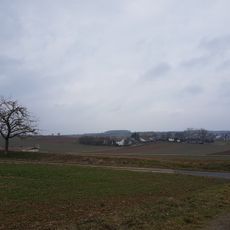
Siedlung
1.9 km
Wendels
3.4 km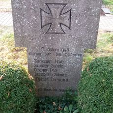
Kriegerdenkmal
2.5 km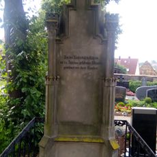
Kriegerdenkmal
2.5 km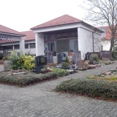
Friedhof Großrinderfeld
2.5 km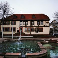
Rathaus Großrinderfeld
2.3 km
Austro-Prussian War Memorial
3.1 km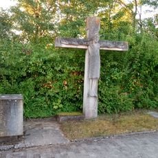
Kriegerdenkmal
1.5 km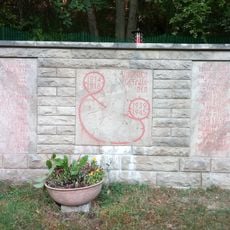
Kriegerdenkmal
2.1 km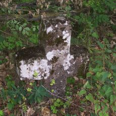
Sühnekreuz Tauberbischofsheim IX
1.7 km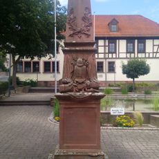
Kriegerdenkmal
2.3 km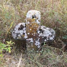
Sühnekreuz Grünsfeld III
1.7 km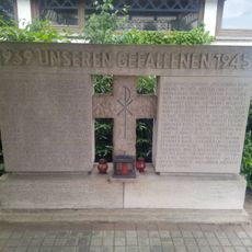
Kriegerdenkmal
2.5 km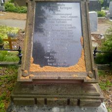
Kriegerdenkmal
2.5 km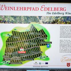
Weinlehrpfad Edelberg
3.5 km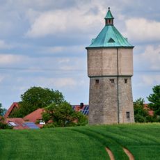
Wasserturm Krensheim
3.4 km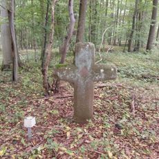
Sühnekreuz Tauberbischofsheim XV
2.8 km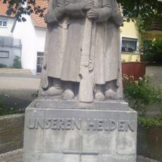
Kriegerdenkmal
2.3 km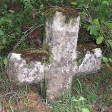
Sühnekreuz Tauberbischofsheim VIII
2.7 km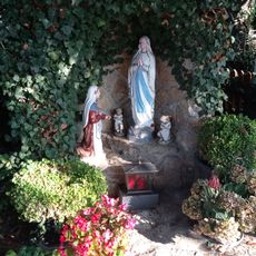
Mariengrotte
2.5 km
1 Linde Krensheimer Weg
2.2 kmVisited this place? Tap the stars to rate it and share your experience / photos with the community! Try now! You can cancel it anytime.
Discover hidden gems everywhere you go!
From secret cafés to breathtaking viewpoints, skip the crowded tourist spots and find places that match your style. Our app makes it easy with voice search, smart filtering, route optimization, and insider tips from travelers worldwide. Download now for the complete mobile experience.

A unique approach to discovering new places❞
— Le Figaro
All the places worth exploring❞
— France Info
A tailor-made excursion in just a few clicks❞
— 20 Minutes