
Westlicher Taubergrund, protected area in the European Union defined by the habitats directive in Baden-Württemberg, Germany
Location: Mulfingen
Location: Assamstadt
Location: Bad Mergentheim
Location: Boxberg
Location: Igersheim
Location: Königheim
Location: Weikersheim
Location: Ahorn
Location: Lauda-Königshofen
Inception: 2004
GPS coordinates: 49.52191,9.73451
Latest update: March 4, 2025 11:53
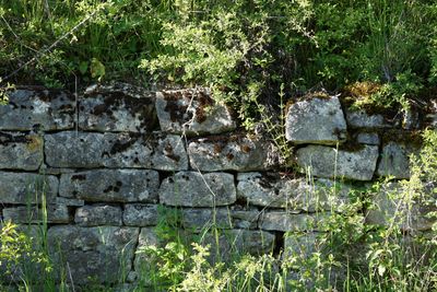
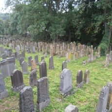
Jüdischer Friedhof Unterbalbach
1.5 km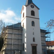
St. Markus
1.2 km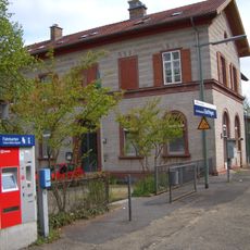
Bahnhof Edelfingen
1.2 km
Obere Burg Unterbalbach
1.3 km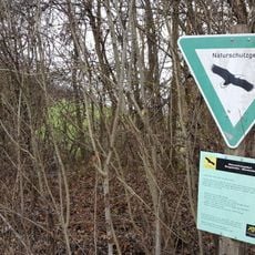
Ringelstaler-Weinhalde
805 m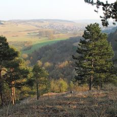
Mehlberg
676 m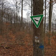
Birkenberg
1.9 km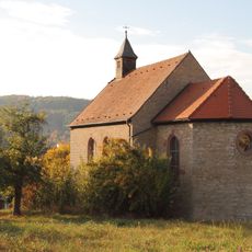
Kapelle Maria Immaculata
1.7 km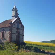
Bergkapelle
1.2 km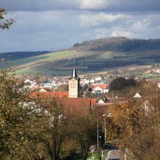
Evangelische Kirche
1.3 km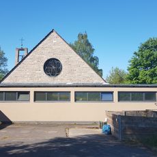
Friedhofskapelle
1.3 km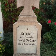
Kriegerdenkmal
1.3 km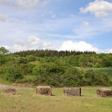
Ödland Kailberg
1.5 km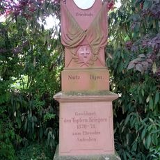
Franco-Prussian War memorial in Sachsenflur
1.7 km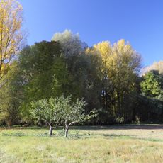
Feuchtgebiet Auwäldchen im Gewann Fluss
770 m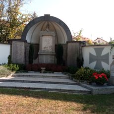
Kriegerdenkmal
1.3 km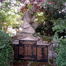
Kriegerdenkmal
1.7 km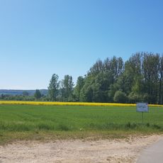
Wasserschutzgebiet Edelfingen
1 km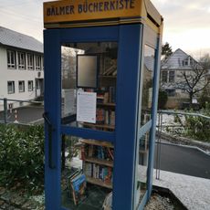
Öffentlicher Bücherschrank
1.3 km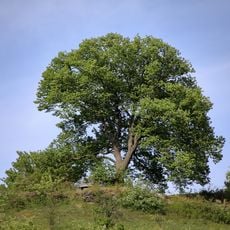
Linde Kailberg
1.5 km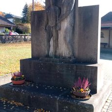
Kriegerdenkmal
1.5 km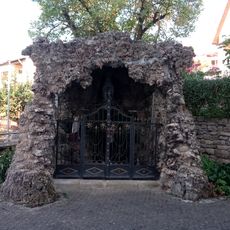
Mariengrotte
1.2 km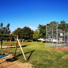
Schulkindergarten Unterbalbach
1.1 km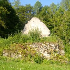
Theobaldskapelle Edelfingen
509 m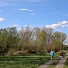
Feuchtgebiet Altwasser Deckwasen
1.6 km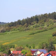
Halbtrockenrasen Geinhartshöhe Geinhartsberg
1.6 km
Ödland Schildwächter
683 m
Wasserschutzgebiet Tauberaue, Lauda-Königshofen
1.1 kmVisited this place? Tap the stars to rate it and share your experience / photos with the community! Try now! You can cancel it anytime.
Discover hidden gems everywhere you go!
From secret cafés to breathtaking viewpoints, skip the crowded tourist spots and find places that match your style. Our app makes it easy with voice search, smart filtering, route optimization, and insider tips from travelers worldwide. Download now for the complete mobile experience.

A unique approach to discovering new places❞
— Le Figaro
All the places worth exploring❞
— France Info
A tailor-made excursion in just a few clicks❞
— 20 Minutes