
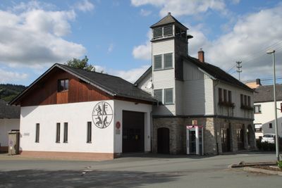
Ehemaliges Rathaus, Cultural heritage monument in Odersbach, Hesse, Germany
Location: Weilburg
Address: Runkeler Straße
GPS coordinates: 50.47590,8.24111
Latest update: March 11, 2025 03:37
Schloss Weilburg
2.6 km
Weilburger Schifffahrtstunnel
1.8 km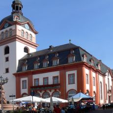
Schlosskirche Weilburg
1.8 km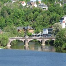
Steinerne Brücke
2 km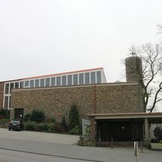
Pfarrkirche Hl. Kreuz
2 km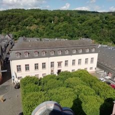
Mining- and Citymuseum Weilburg
1.8 km
Alter Friedhof
1.9 km
Untergasse 13
399 m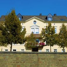
Bahnhofstraße 11
2 km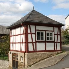
Ehemaliges Spritzenhaus
344 m
Bahnhofstraße 7
2 km
Bahnhofstraße 1
2 km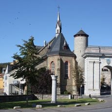
Chor der ehemaligen katholischen Kirche
1.8 km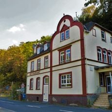
Gasthof Felsenkeller
2 km
Alte Rathausschule
337 m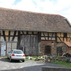
Weilburger Straße 4
108 m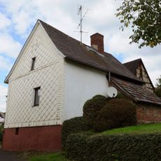
Backhaus
386 m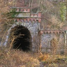
Gensberg-Tunnel
2 km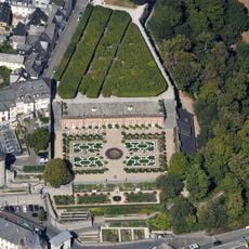
Untere Orangerie in Schloss Weilburg
1.8 km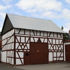
Hohlstraße 14/Untergasse 2
364 m
Ehemalige Grube 'Erhaltung'
1 km
Wingertstraße 2/4
370 m
Schleuse Kirschhofen
898 m
Friedrichstraße 24
385 m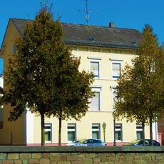
Bahnhofstraße 15
2 km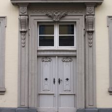
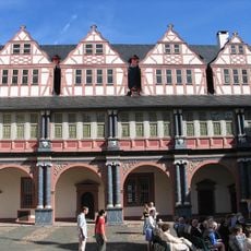
Ehem. Gymnasium Philippinum (Bibliothek u. Schule)
1.6 km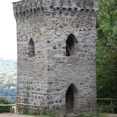
Krahnenturm
1.5 km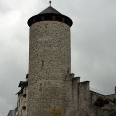
Stadtmauerturm
1.7 kmReviews
Visited this place? Tap the stars to rate it and share your experience / photos with the community! Try now! You can cancel it anytime.
Discover hidden gems everywhere you go!
From secret cafés to breathtaking viewpoints, skip the crowded tourist spots and find places that match your style. Our app makes it easy with voice search, smart filtering, route optimization, and insider tips from travelers worldwide. Download now for the complete mobile experience.

A unique approach to discovering new places❞
— Le Figaro
All the places worth exploring❞
— France Info
A tailor-made excursion in just a few clicks❞
— 20 Minutes