
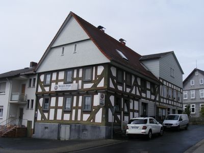
Ehemaliges Gemeindewirtshaus, Cultural heritage monument in Wallenrod, Hesse, Germany
Location: Lauterbach
Address: Helmut-Caspar-Weg
GPS coordinates: 50.66345,9.32652
Latest update: March 3, 2025 08:01
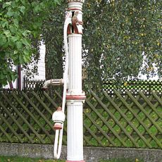
Pumpbrunnen
2.1 km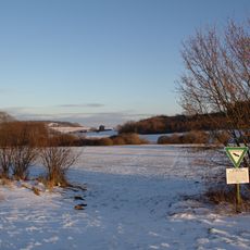
Am kalten Born bei Wallenrod
1.4 km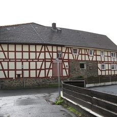
DE HE 66772
72 m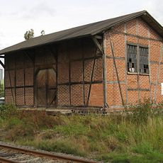
Güterschuppen
375 m
DE HE 66754
93 m
DE HE 66758
161 m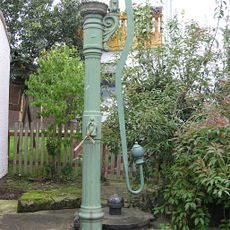
Pumpbrunnen
2.1 km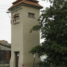
Bornfeldstraße 8
2.1 km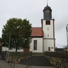
Evangelische Pfarrkirche Wallenrod DE HE 66766
29 m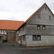
DE HE 66778
273 m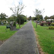
Friedhof Wallenrod DE HE 66764
621 m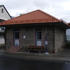
Ehemaliges Backhaus des Unterdorfes
126 m
Oberdorf 6 und 6A
150 m
Backhaus des Oberdorfes
86 m
Am Eisenberg 4
127 m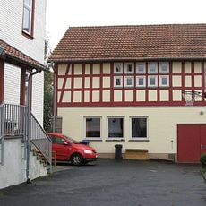
Pfarrscheune
57 m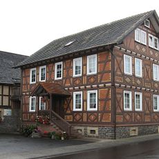
Unterdorf 13
72 m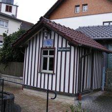
Öffentliche Waage
76 m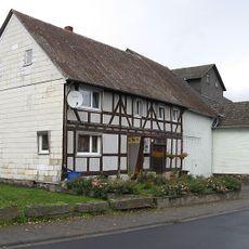
Unterdorf 28
158 m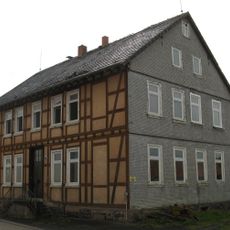
Ehemalige Schule Wallenrod DE HE 66770
36 m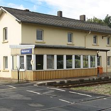
Bahnhof
375 m
Engerweg 2
208 m
Eckweg 1
254 m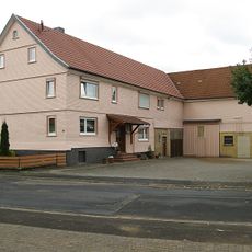
Wallenröder Straße 14
2.1 km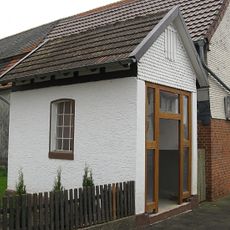
Waage
2.1 km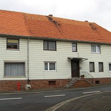
Wallenröder Straße 27
2.1 km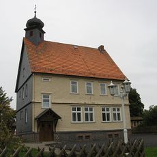
Ehemalige Schule
2 km
Pfarrhaus
57 mReviews
Visited this place? Tap the stars to rate it and share your experience / photos with the community! Try now! You can cancel it anytime.
Discover hidden gems everywhere you go!
From secret cafés to breathtaking viewpoints, skip the crowded tourist spots and find places that match your style. Our app makes it easy with voice search, smart filtering, route optimization, and insider tips from travelers worldwide. Download now for the complete mobile experience.

A unique approach to discovering new places❞
— Le Figaro
All the places worth exploring❞
— France Info
A tailor-made excursion in just a few clicks❞
— 20 Minutes