
Wetzlarer Straße 18, Cultural heritage monument in Nauborn, Hesse, Germany
Location: Wetzlar
Address: Wetzlarer Straße
GPS coordinates: 50.53048,8.49288
Latest update: March 7, 2025 23:48

Burg Kalsmunt
2.1 km
Sixt-von-Armin-Kaserne
2.3 km
Stoppelberg
2.4 km
Freiherr-vom-Stein-Schule (Wetzlar)
2.1 km
Teutbirg-Basilika
1.5 km
Evangelische Kirche (Nauborn)
200 m
Bakehouse (Hermannstein)
61 m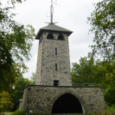
Stoppelberg Observation Tower
2.4 km
Haus Friedwart
2.2 km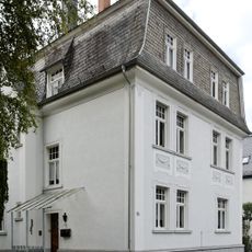
Helgebachstraße 14
2.2 km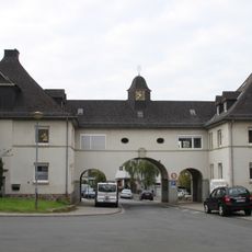
Römerstraße 1/2
2.1 km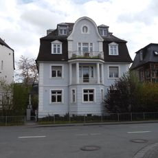
Nauborner Straße 29
2.2 km
Brühlsbachstraße 44
2.4 km
Nauborner Straße 25-27
2.3 km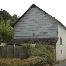
Am Steg 2
78 m
Gesamtanlage 22: Siedlung am Stoppelberg
2.2 km
Helgebachstraße 1
2.2 km
Pfarrhaus und Pfarrgarten
209 m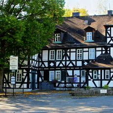
(Hofgut Magdalenenhausen)
1.5 km
Lauerstraße 7
2.3 km
Grube Juno II
1 km
Solmser Weg 7
146 m
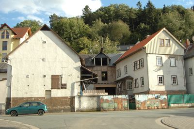
Honigmühle
1.8 km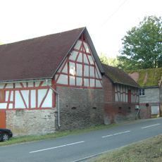
Dickesmühle
1.4 km
Hofstatt 1
144 m
Eulenflug 1
318 m
Gesamtanlage 13: Nauborner Straße
2.3 km
Weinberg bei Wetzlar
1.9 kmReviews
Visited this place? Tap the stars to rate it and share your experience / photos with the community! Try now! You can cancel it anytime.
Discover hidden gems everywhere you go!
From secret cafés to breathtaking viewpoints, skip the crowded tourist spots and find places that match your style. Our app makes it easy with voice search, smart filtering, route optimization, and insider tips from travelers worldwide. Download now for the complete mobile experience.

A unique approach to discovering new places❞
— Le Figaro
All the places worth exploring❞
— France Info
A tailor-made excursion in just a few clicks❞
— 20 Minutes