
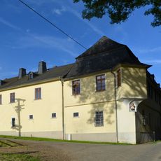
Denkmalanlage, Cultural heritage monument in Münster (Selters), Hesse, Germany
Location: Selters
Address: Vorderstraße
GPS coordinates: 50.37050,8.26379
Latest update: March 11, 2025 23:52

Hof zu Hausen
3.8 km
Aumenau station
3.5 km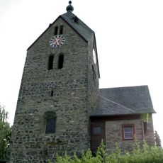
Evangelische Kirche
2.9 km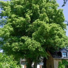
Linde Guckelmühle
2.2 km
St. Marien
2.3 km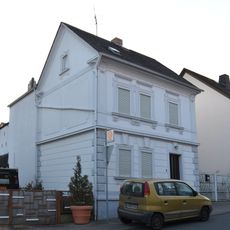
Grabenstraße 3
3.6 km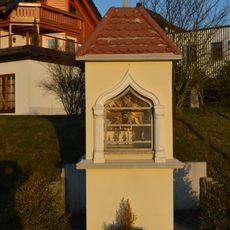
Bildstock Hauser Weg 6
3.6 km
Kath. Pfarrkirche St. Petrus
3.4 km
Neustraße 8
163 m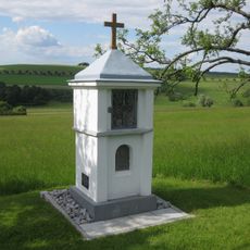
Bildstock
3.3 km
St. Nikolaus (Haintchen)
3.8 km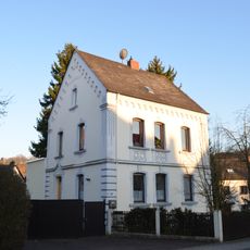
Mühlstraße 17
3.7 km
Grabenstraße 8
3.6 km
Denkmalanlage
3.5 km
Bildstock
3.3 km
Bildstock
3.3 km
Grabenstraße 26
3.5 km
Kapelle der 14 Nothelfer
3.7 km
Bildstock
2.4 km
Ev. Kirche
21 m
St. Joseph
3.6 km
Obergasse 19
205 m
Ehem. Glücksmühle
451 m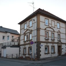
Grabenstraße 1
3.6 km
Selterser Straße 4
98 m
Ev. Pfarrhaus
44 m
Rathaus und ehem. Volksschule
81 m
Kirchstraße 24
3.5 kmReviews
Visited this place? Tap the stars to rate it and share your experience / photos with the community! Try now! You can cancel it anytime.
Discover hidden gems everywhere you go!
From secret cafés to breathtaking viewpoints, skip the crowded tourist spots and find places that match your style. Our app makes it easy with voice search, smart filtering, route optimization, and insider tips from travelers worldwide. Download now for the complete mobile experience.

A unique approach to discovering new places❞
— Le Figaro
All the places worth exploring❞
— France Info
A tailor-made excursion in just a few clicks❞
— 20 Minutes