
Evangelische Kirche, church building in Edingen (Sinn), Hesse, Germany
Location: Sinn
Address: Landstraße
GPS coordinates: 50.63242,8.32185
Latest update: March 6, 2025 21:34

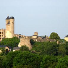
Greifenstein Castle
2.4 km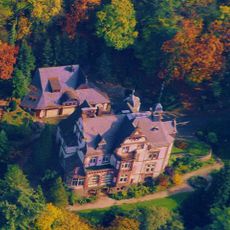
Villa Haas
2.9 km
Lichtenstein Castle (Greifenstein)
4.1 km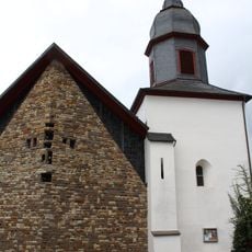
Protestant Church Katzenfurt
2.5 km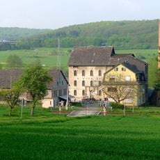
Marxmühle
1.5 km
Koppe
3.7 km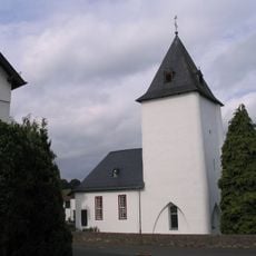
Evangelische Kirche Daubhausen
3.6 km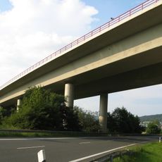
Dilltalbrücke Edingen
705 m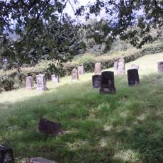
Jüdischer Friedhof Katzenfurt
2.6 km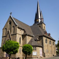
Evangelische Kirche
2.4 km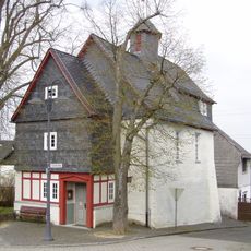
Protestant Church
4.2 km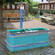
Laufbrunnen
3.3 km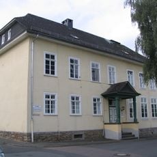
Ehemalige Schule
3.7 km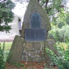
Kriegerdenkmal
4.3 km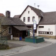
Backhaus und Laufbrunnen
4.2 km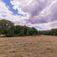
Am Hindstein bei Greifenstein
3.2 km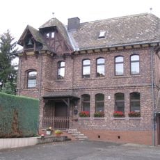
Ehemaliges Schul- und Bethaus
2.6 km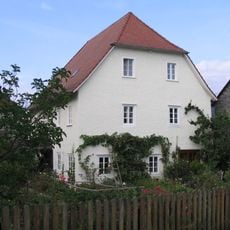
Ehemaliges Pfarrhaus
3.7 km
Wasserbehälter
4 km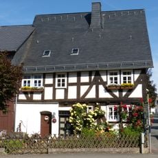
Weilburger Straße 18
3.1 km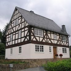
Fachwerkhaus
2.6 km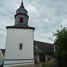
Turm der evangelischen Kirche
2.5 km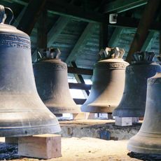
Gesamtanlage Burg Greifenstein
2.4 km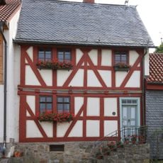
Oranienstraße 1
3.3 km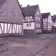
Gesamtanlage Historischer Ortskern
3.3 km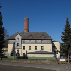
Sachgesamtheit Landes-Heil- und Pflegeanstalt
4.2 km
Dillwiesen bei Katzenfurt
2.6 km
Beilstein bei Herborn
3.5 kmVisited this place? Tap the stars to rate it and share your experience / photos with the community! Try now! You can cancel it anytime.
Discover hidden gems everywhere you go!
From secret cafés to breathtaking viewpoints, skip the crowded tourist spots and find places that match your style. Our app makes it easy with voice search, smart filtering, route optimization, and insider tips from travelers worldwide. Download now for the complete mobile experience.

A unique approach to discovering new places❞
— Le Figaro
All the places worth exploring❞
— France Info
A tailor-made excursion in just a few clicks❞
— 20 Minutes