
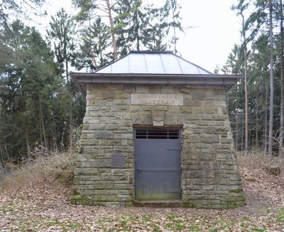
Alter Wasserspeicher, Cultural heritage monument in Neuenhain (Bad Soden am Taunus), Hesse, Germany
Location: Neuenhain
Address: Außerhalb Ortslage
GPS coordinates: 50.16381,8.47916
Latest update: March 5, 2025 23:41

Villa Gans
1.2 km
Maria Geburt
1.1 km
Katholische Kirche Maria Geburt
1.1 km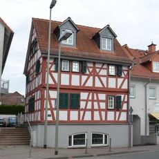
Hauptstraße 22
1.3 km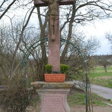
Wegkreuz
745 m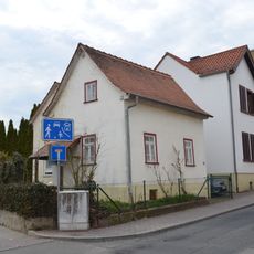
Hauptstraße 55
1.2 km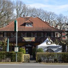
Waldgasthof Hubertus
288 m
Hauptstraße 21
1.2 km
Langstraße 11
884 m
Schulstraße 5
1.2 km
Katholische Pfarrkirche Maria Hilf
1.1 km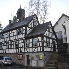
Altes Rathaus
966 m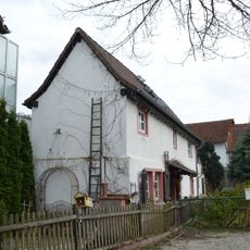
Schwalbacher Straße 2a
1.3 km
Hauptstraße 28
1.2 km
Hundsgasse 3
1.3 km
Hauptstraße 53
1.2 km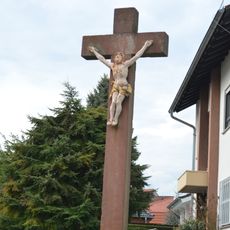
Sandsteinkreuz
1.1 km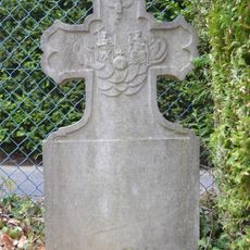
Grabstein an der katholischen Kirche
1.1 km
Langstraße 37
991 m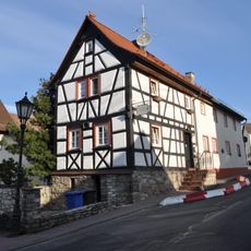
Hauptstraße 51
1.2 km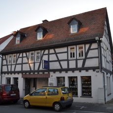
Hauptstraße 31
1.3 km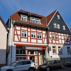
Ehem. Nassauer Hof
1.3 km
Langstraße 39
1 km
Schulstraße 15
1.2 km
Langstraße 13
895 m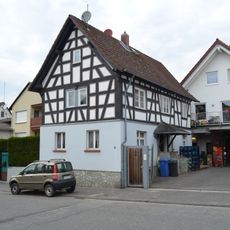
Schwalbacher Straße 9
1.3 km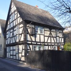
Langstraße 10
888 m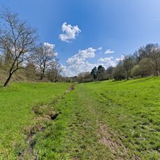
Wiesen im Süßen Gründchen bei Neuenhain
1 kmReviews
Visited this place? Tap the stars to rate it and share your experience / photos with the community! Try now! You can cancel it anytime.
Discover hidden gems everywhere you go!
From secret cafés to breathtaking viewpoints, skip the crowded tourist spots and find places that match your style. Our app makes it easy with voice search, smart filtering, route optimization, and insider tips from travelers worldwide. Download now for the complete mobile experience.

A unique approach to discovering new places❞
— Le Figaro
All the places worth exploring❞
— France Info
A tailor-made excursion in just a few clicks❞
— 20 Minutes