
Feldscheune eines Bauernhofes Hauptstraße 42
Feldscheune eines Bauernhofes Hauptstraße 42, Alte Ortslage Bröthen, Backsteinbau, wirtschaftsgeschichtlich von Bedeutung
Location: Hoyerswerda
Inception: 1890
Address: Hauptstraße 42
GPS coordinates: 51.43018,14.18545
Latest update: March 5, 2025 18:23


Erlebnishof Krabat-Mühle Schwarzkollm
2.5 km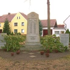
Denkmal für die Gefallenen des Ersten Weltkriegs von Bröthen Hauptstraße 16 (vor)
328 m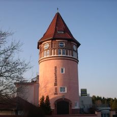
Wasserturm Bröthen/Michalken
2.3 km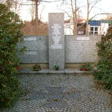
Gedenkstätte für die Opfer der Weltkriege Neue Straße, auf dem Friedhof
1.5 km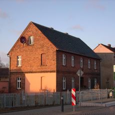
Wohnhaus Dresdener Straße 38 (Klein Neida)
2.9 km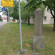
Wegestein Nardt
2.8 km
Vogelturm
2.7 km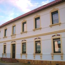
Wohnhaus Waldstraße 2 (Klein Neida)
2.8 km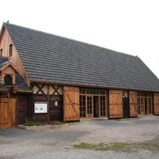
Krabatmühle, Schwarzkollm
2.6 km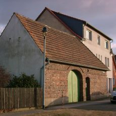
Torhaus eines Bauernhofes, dazu Anbau im Winkel Weinbergstraße 2 (Klein Neida)
2.8 km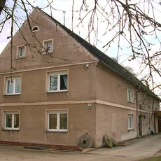
Bröthener Wassermühle
182 m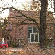
Ateliergebäude einer Ziegelei und seitliche Mauer mit Pforte Dresdener Straße 100
1.4 km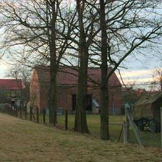
Scheune (östlicher Bau) eines Bauernhofes Hauptstraße 41
35 m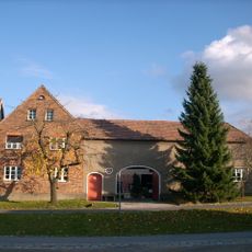
Bauernhof mit Wohnstallhaus, Torhaus (mit Oberlaubengang), Seitengebäude und Scheune sowie Feldscheune Hauptstraße 44
64 m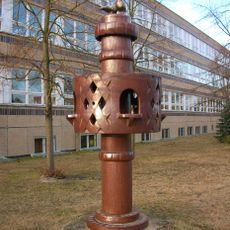
Plastik „Vogelturm“ Vor Dresdener Straße 43b (Klein Neida)
2.7 km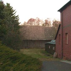
Brising-Mühle; Scheune eines Mühlenanwesens Mühlenweg 2
2.8 km
Seitengebäude (Auszugshaus) eines Bauernhofes Schäferweg 6
105 m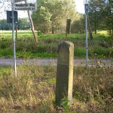
Wegestein Michalkener Weg (Abzweig Neudorfer Weg)
2.6 km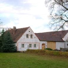
Bauernhof mit Wohnhaus, zwei Seitengebäuden und Scheune Koselbruch 11
2 km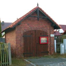
Spritzenhaus von Bröthen Hauptstraße 10 (neben)
416 m
Eleven bunkers along a road, a single bunker, five warehouses and a wall with watchtowers on Bundesstraße 27
1.8 km
Scheune (westlicher Bau) eines Bauernhofs Hauptstraße 19
262 m
Transformatorenturmstation Hauptstraße 55 (neben)
350 m
Gasthaus „Drei Linden“ Hauptstraße 46
98 m
Hofmauer (mit Torbogen und Pforte) und Scheune eines Bauernhofes Hauptstraße 22
171 m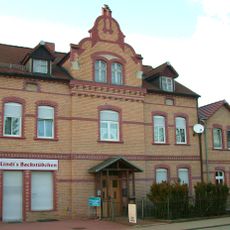
Gaststätte Zur Erholung; Wohnhaus Dresdener Straße 35 (Klein Neida)
3 km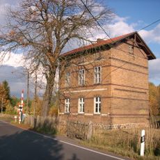
Schrankenwärterhaus und Nebengebäude (Schuppen) Flugplatzstraße 54
848 m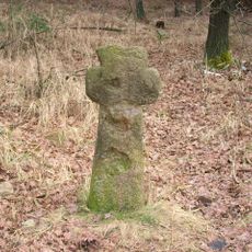
Steinkreuz (östlich des Ortes, verlängerter Schäferweg, Weg nach Hoyerswerda)
777 mReviews
Visited this place? Tap the stars to rate it and share your experience / photos with the community! Try now! You can cancel it anytime.
Discover hidden gems everywhere you go!
From secret cafés to breathtaking viewpoints, skip the crowded tourist spots and find places that match your style. Our app makes it easy with voice search, smart filtering, route optimization, and insider tips from travelers worldwide. Download now for the complete mobile experience.

A unique approach to discovering new places❞
— Le Figaro
All the places worth exploring❞
— France Info
A tailor-made excursion in just a few clicks❞
— 20 Minutes