
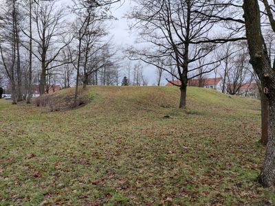
Halde Max-Roscher-Straße, Halde (siehe OT Zug, Schulstraße 14/16)
Location: Freiberg
Inception: 1600
Address: Max-Roscher-Straße
GPS coordinates: 50.89748,13.33760
Latest update: March 3, 2025 09:26
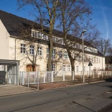
Schule Hauptstraße 150
726 m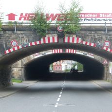
EÜ Berthelsdorfer Straße, Freiberg
1.1 km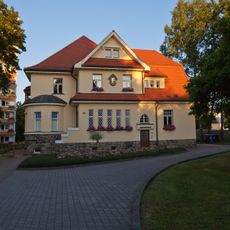
Villa Forstweg 69
1 km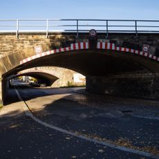
Zwei Eisenbahnbrücken Friedrich-Olbricht-Straße
1.3 km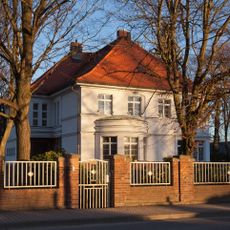
Villa Berthelsdorfer Straße 75
1.4 km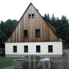
Bergbauliche Anlage Schulstraße 10
964 m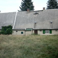
Huthaus Prophet Daniel
739 m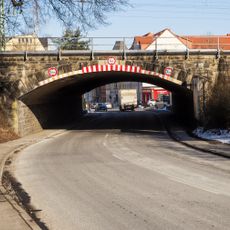
Eisenbahnbrücke Olbernhauer Straße
1.3 km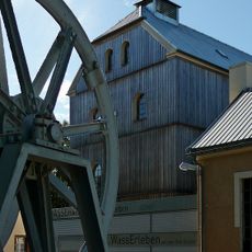
Bergbauliche Anlage Am Dreibrüderschacht 27
1.3 km
Bergbauliche Anlage Schulstraße 14; 16
923 m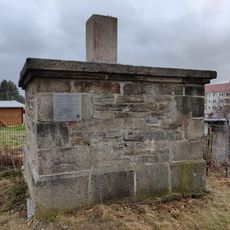
Vermessungsstein Forstweg
979 m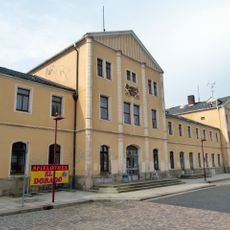
Bahnhofskomplex Am Bahnhof
1.4 km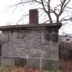
Station 36 Freiberg
979 m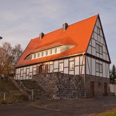
Ehem. Jugendheim, später Gasthaus Thomas-Mann-Straße 16
514 m
Hochbehälteranlage Hegelstraße 45
789 m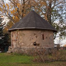
Pulverturm Thomas-Mann-Straße
627 m
Mehrfamilienhaus Kurt-Eisner-Straße 2
744 m
Mietshaus Forstweg 26
1.4 km
Bergamtliches Gebäude Brander Straße 100
278 m
Mehrfamilienhaus Kurt-Eisner-Straße 4
734 m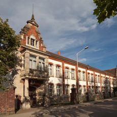
Fabrikkomplex Berthelsdorfer Straße 77
1.3 km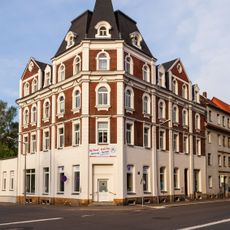
Mietshaus Beuststraße 3
1.4 km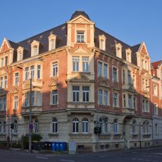
Mietshaus Beuststraße 13
1.4 km
Andachtsstätte Brander Straße
569 m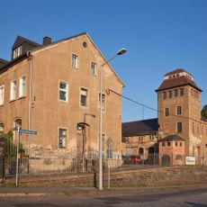
Produktionsgebäude Brander Straße 12
1.2 km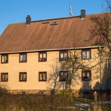
Wohnhaus Käthe-Kollwitz-Straße 77
490 m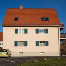
Mehrfamilienhaus Kurt-Eisner-Straße 8
715 m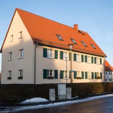
Mehrfamilienhaus Kurt-Eisner-Straße 10
674 mReviews
Visited this place? Tap the stars to rate it and share your experience / photos with the community! Try now! You can cancel it anytime.
Discover hidden gems everywhere you go!
From secret cafés to breathtaking viewpoints, skip the crowded tourist spots and find places that match your style. Our app makes it easy with voice search, smart filtering, route optimization, and insider tips from travelers worldwide. Download now for the complete mobile experience.

A unique approach to discovering new places❞
— Le Figaro
All the places worth exploring❞
— France Info
A tailor-made excursion in just a few clicks❞
— 20 Minutes