
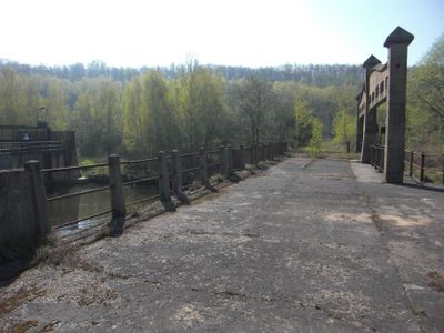
Gießmannsdorfer Wehr, weir and former road bridge in Hirschfelde
Location: Zittau
Inception: 1920
Address: Straße zum Kraftwerk, Geokoordinaten N 50.935174, E 14.890449
GPS coordinates: 50.93522,14.89086
Latest update: March 7, 2025 05:13
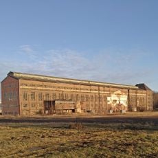
Kraftwerk Hirschfelde
249 m
Ernst-Thälmann-Platz 3
1.1 km
Zittauer Straße 14
1.1 km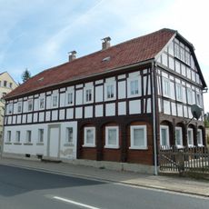
Zittauer Straße 3
1.1 km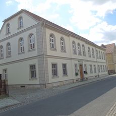
Rosenstraße 3
1 km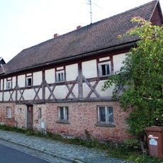
Rosenstraße 15
984 m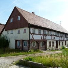
Rosenstraße 9
981 m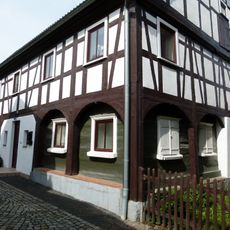
Am Angel 4
1.1 km
Zittauer Straße 9a
1 km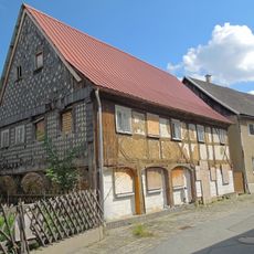
Steinsgasse 1
1.1 km
Friedensgasse 3
969 m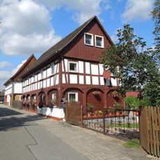
Steinsgasse 15
992 m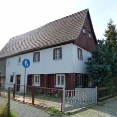
Rosenstraße 7
991 m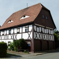
Am Angel 8
1.1 km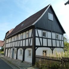
Rosenstraße 13
986 m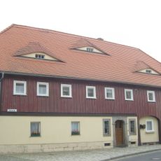
Rosenstraße 1
1 km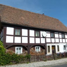
Rosenstraße 18
1 km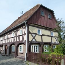
Am Angel 2
1.1 km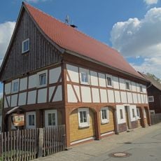
Steinsgasse 13
1 km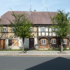
Rosenstraße 6
1 km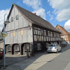
Steinsgasse 8
1.1 km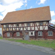
Friedensgasse 1
988 m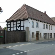
Zittauer Straße 5; 5a
1.1 km
Zittauer Straße 7
1.1 km
Ernst-Thälmann-Platz 9
1.1 km
Ernst-Thälmann-Platz 5
1.1 km
Zittauer Straße 18
1.1 km
Rosenstraße 2
1 kmReviews
Visited this place? Tap the stars to rate it and share your experience / photos with the community! Try now! You can cancel it anytime.
Discover hidden gems everywhere you go!
From secret cafés to breathtaking viewpoints, skip the crowded tourist spots and find places that match your style. Our app makes it easy with voice search, smart filtering, route optimization, and insider tips from travelers worldwide. Download now for the complete mobile experience.

A unique approach to discovering new places❞
— Le Figaro
All the places worth exploring❞
— France Info
A tailor-made excursion in just a few clicks❞
— 20 Minutes