
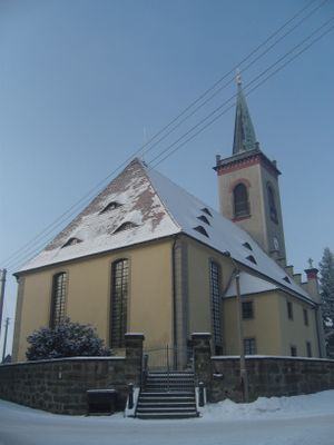
Church Kottmarsdorf, church building in Kottmarsdorf, Germany
Location: Kottmar
Inception: 1736
Address: Dorfstraße (neben Nr. 46)
GPS coordinates: 51.03096,14.62764
Latest update: March 3, 2025 04:18
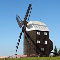
Post mill Kottmarsdorf
259 m
Hutberg
1.9 km
Kottmar
2.6 km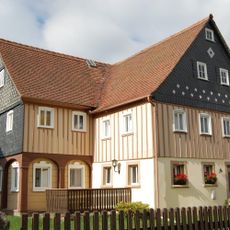
An der Aue 14
2.8 km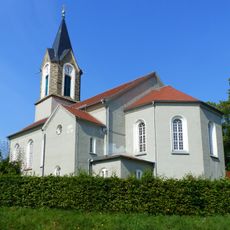
Kirche Dürrhennersdorf
2.6 km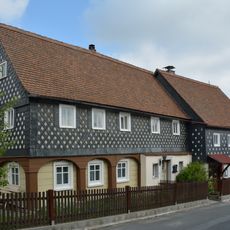
Kottmarsdorfer Straße 14
2.8 km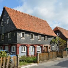
Kottmarsdorfer Straße 4
2.8 km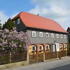
Kottmarsdorfer Straße 6
2.8 km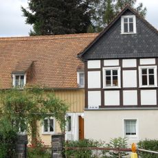
An der Aue 4
2.8 km
Kottmarsdorfer Straße 16
2.8 km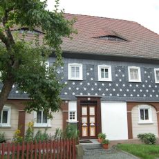
An der Aue 18
2.8 km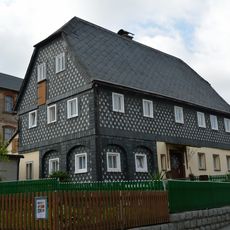
Kottmarsdorfer Straße 7
2.8 km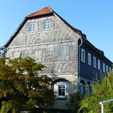
Löbauer Straße 24
688 m
Kux- Flurholz
2.7 km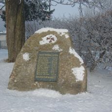
War memorial Turnhallenweg
285 m
Dorfstraße 14
536 m
Staunasse Wiese am Kux
2.8 km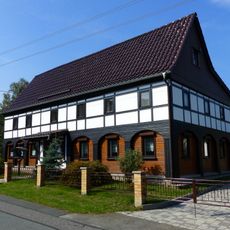
Dorfstraße 65
768 m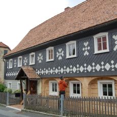
Kottmarsdorfer Straße 3
2.8 km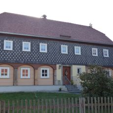
Hauptstraße 30
2.8 km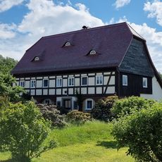
Hauptstraße 16
2.8 km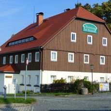
Obercunnersdorfer Straße 4
222 m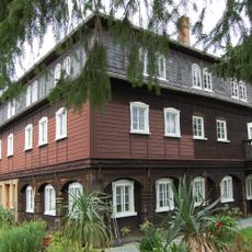
Kottmarsdorfer Straße 9
2.8 km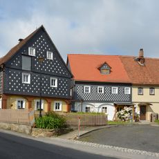
Kottmarsdorfer Straße 10; 12
2.8 km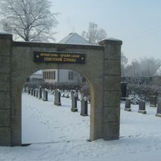
Soviet memorial cemetery
121 m
Dorfstraße 32
68 m
Kottmarsdorfer Straße 20
2.7 km
Rittergut Dürrhennersdorf
2.7 kmVisited this place? Tap the stars to rate it and share your experience / photos with the community! Try now! You can cancel it anytime.
Discover hidden gems everywhere you go!
From secret cafés to breathtaking viewpoints, skip the crowded tourist spots and find places that match your style. Our app makes it easy with voice search, smart filtering, route optimization, and insider tips from travelers worldwide. Download now for the complete mobile experience.

A unique approach to discovering new places❞
— Le Figaro
All the places worth exploring❞
— France Info
A tailor-made excursion in just a few clicks❞
— 20 Minutes