
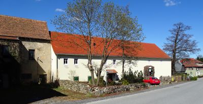
Obercunnersdorfer Straße 14; 15, former inn building and outbuilding in Niedercunnersdorf
Location: Kottmar
Inception: 1892
Address: Obercunnersdorfer Straße 14; 15
GPS coordinates: 51.05377,14.65637
Latest update: March 8, 2025 02:27
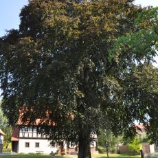
Rotbuche
156 m
Alte Dorfstraße 20
58 m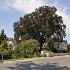
Blutbuche
158 m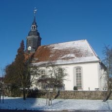
Church and cemetery NIedercunnersdorf
182 m
Neue Straße 1
180 m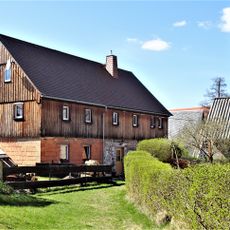
Alte Dorfstraße 29
107 m
Alte Dorfstraße 14
158 m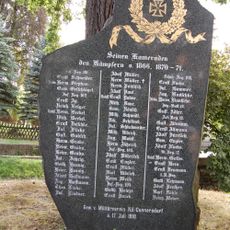
War memorial and oak Niedere Hauptstraße
132 m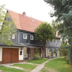
Alte Dorfstraße 7
188 m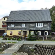
An der Aue 7
155 m
An der Aue 1
135 m
Niedere Hauptstraße 46
167 m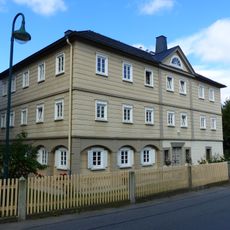
Niedere Hauptstraße 35
181 m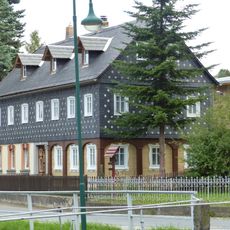
Niedere Hauptstraße 36
164 m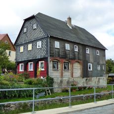
Alte Dorfstraße 32
160 m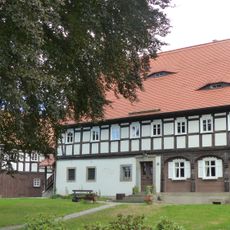
Niedere Hauptstraße 37; 37a
170 m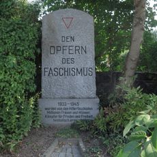
Memorial Niedere Hauptstraße
148 m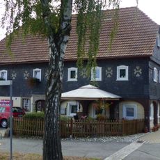
Niedere Hauptstraße 42
134 m
Niedere Hauptstraße 43
146 m
Niedere Hauptstraße 33
201 m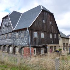
Niedere Hauptstraße 47
195 m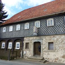
Niedere Hauptstraße 53
203 m
Obercunnersdorfer Straße 10
97 m
Obercunnersdorfer Straße 12
74 m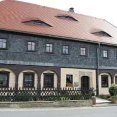
Obercunnersdorfer Straße 13
46 m
Alte Dorfstraße 30
126 m
Alte Dorfstraße 22
78 m
Alte Dorfstraße 8
175 mVisited this place? Tap the stars to rate it and share your experience / photos with the community! Try now! You can cancel it anytime.
Discover hidden gems everywhere you go!
From secret cafés to breathtaking viewpoints, skip the crowded tourist spots and find places that match your style. Our app makes it easy with voice search, smart filtering, route optimization, and insider tips from travelers worldwide. Download now for the complete mobile experience.

A unique approach to discovering new places❞
— Le Figaro
All the places worth exploring❞
— France Info
A tailor-made excursion in just a few clicks❞
— 20 Minutes