
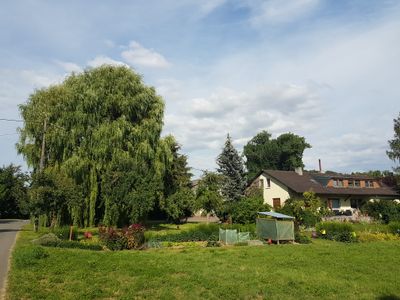
Weidenmühle, human settlement in Germany
Location: Werbach
Elevation above the sea: 175 m
GPS coordinates: 49.66754,9.64555
Latest update: March 3, 2025 20:01
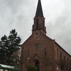
St. Martin
602 m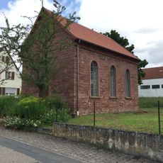
Maria-Hilf-Kapelle
270 m
Welzmühle
796 m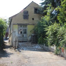
Synagoge Hochhausen (Tauberbischofsheim)
945 m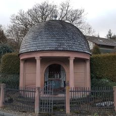
Bildhäusle
870 m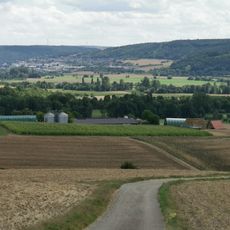
Blauer Rain
658 m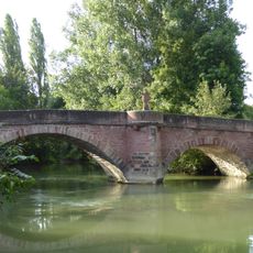
Historische Tauberbrücke Hochhausen
867 m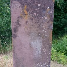
Verbotsstein
861 m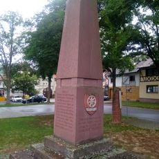
Kriegerdenkmal
381 m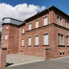
Rathaus Werbach
645 m
Naturdenkmal Taubermäander mit Ufergehölz Ried/Langen Grund/Mühlwörth
954 m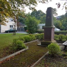
Kriegerdenkmal
950 m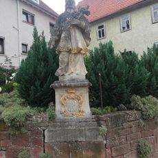
Nepomukfigur
964 m
Sühnekreuz Werbach I
204 m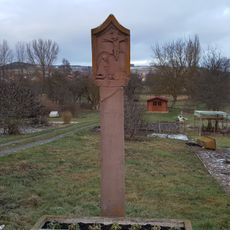
Bildstock
846 m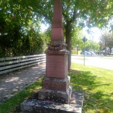
Kriegerdenkmal
624 m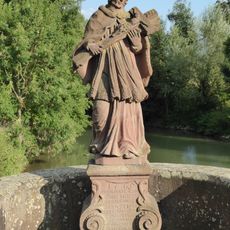
Nepomukstatue in Hochhausen
867 m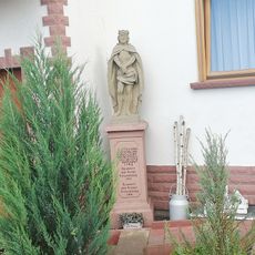
Bildstock
957 m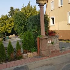
Bildstock
824 m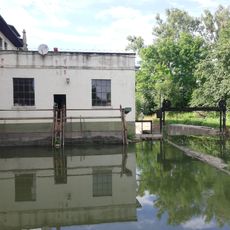
Mühlenbauteile
924 m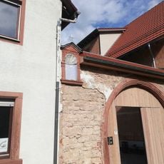
Wohnhaus
959 m
Kriegerdenkmal
679 m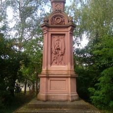
Denkmal für die badischen 1866 Gefallenen der Gefechte bei Werbach, Hochhausen und Walldürn
676 m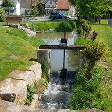
Kneipp-Anlage
496 m
Kriegerdenkmal
558 m
Gasthaus "Zum Lamm"
963 m
Kellergeschoss eines Ökonomiegebäudes
956 m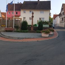
Bildstock
914 mReviews
Visited this place? Tap the stars to rate it and share your experience / photos with the community! Try now! You can cancel it anytime.
Discover hidden gems everywhere you go!
From secret cafés to breathtaking viewpoints, skip the crowded tourist spots and find places that match your style. Our app makes it easy with voice search, smart filtering, route optimization, and insider tips from travelers worldwide. Download now for the complete mobile experience.

A unique approach to discovering new places❞
— Le Figaro
All the places worth exploring❞
— France Info
A tailor-made excursion in just a few clicks❞
— 20 Minutes