
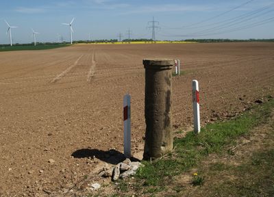
Station 21 Röden, Triangulation Column, 1nd Order Station, the Royal Saxon Triangulation in Saxony 1862-1890
Location: Gutenborn
Inception: 1873
Part of: Royal Saxon triangulation network
GPS coordinates: 51.01907,12.14979
Latest update: March 31, 2025 03:33
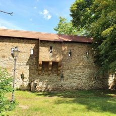
City walls of Zeitz
3.4 km
Prangerlinde Großpörthen
2.8 km
Meilenstein
3.1 km
Quercus robur next to Fallen monument Golben
2.6 km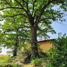
Quercus robur at the southern exit of the village Golben
2.6 km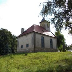
Protestant Church (Rasberg)
2.2 km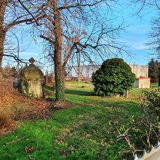
Brunnenhaus - Gleinaer Straße
2.9 km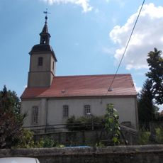
Protestant Church Großpörthen
2.9 km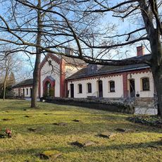
Michaelisfriedhof (Zeitz)
2.9 km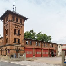
Feuerwache Zeitz
3.4 km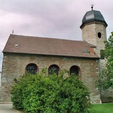
Protestant Church Geußnitz
2.5 km
Kuhndorftal
552 m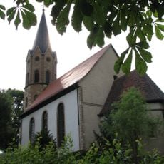
Protestant Church Rippicha
1.8 km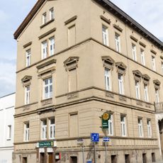
Kalkstraße 23 (Zeitz)
3.3 km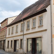
Kalkstraße 9
3.4 km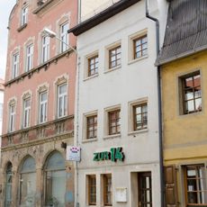
Kalkstraße 14
3.3 km
Kalkstraße 8
3.4 km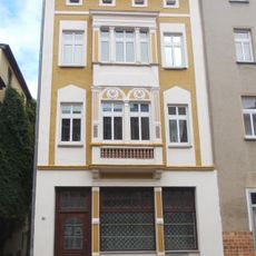
Kalkstraße 30 (Zeitz)
3.4 km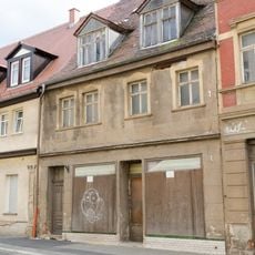
Kalkstraße 11
3.4 km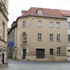
Kalkstraße 18
3.3 km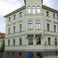
Besenstraße 5a (Zeitz)
3.4 km
Kalkstraße 21, 22
3.3 km
Kalkstraße 15
3.3 km
Kalkstraße 27
3.4 km
Kalkstraße 36 (Zeitz)
3.4 km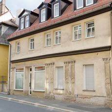
Kalkstraße 12
3.4 km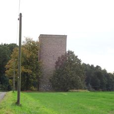
Wasserturm Droßdorf
3 km
Kalkstraße 13
3.3 kmReviews
Visited this place? Tap the stars to rate it and share your experience / photos with the community! Try now! You can cancel it anytime.
Discover hidden gems everywhere you go!
From secret cafés to breathtaking viewpoints, skip the crowded tourist spots and find places that match your style. Our app makes it easy with voice search, smart filtering, route optimization, and insider tips from travelers worldwide. Download now for the complete mobile experience.

A unique approach to discovering new places❞
— Le Figaro
All the places worth exploring❞
— France Info
A tailor-made excursion in just a few clicks❞
— 20 Minutes