
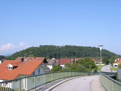
Natternberg, mountain
Location: Deggendorf
Elevation above the sea: 383 m
Length: 700 m
Width: 250 m
GPS coordinates: 48.82577,12.91162
Latest update: March 11, 2025 07:02
Metten Abbey
3.3 km
Bezirksklinikum Mainkofen
2.3 km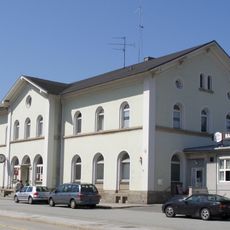
Deggendorf Central Station
3.2 km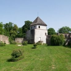
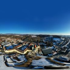
Burg Natternberg
41 m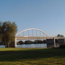
Fischerdorf motorway bridge
2.7 km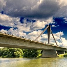
Metten motorway bridge
2.4 km
Elypso
707 m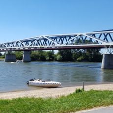
Donausteg Deggendorf
2.4 km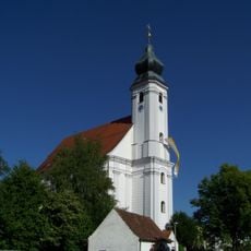
Mariä Heimsuchung (Rettenbach)
2.3 km
Deggendorfer Himmelreich
3 km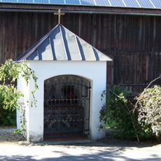
Kapelle
2.3 km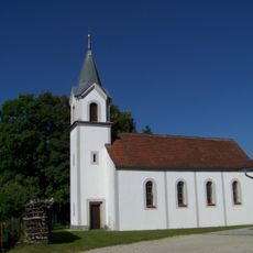
St. Anna
431 m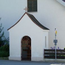
Kapelle
2.4 km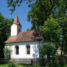
Kapelle
3.5 km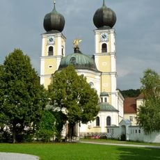
Klosterkirche Metten
3.3 km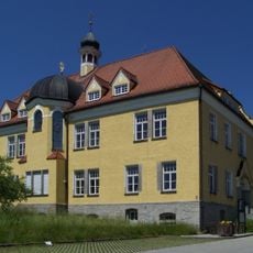
Ehemaliges Krankenhaus, jetzt Rathaus
3.2 km
Bahnhofsgebäude
3.2 km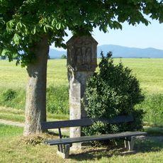
Bildstock
2.9 km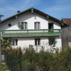
Wohnstallhaus
2.7 km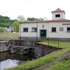
Schöpfwerk Metten
2.3 km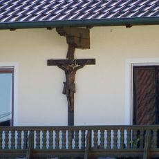
Hausfigur
2.4 km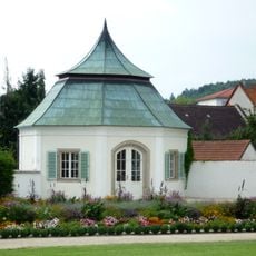
Gartenpavillon
3.4 km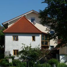
Ehemals Zuhaus
2.3 km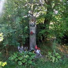
Bildstock
2.8 km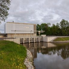
Schöpfwerk Metten (neu)
2.3 km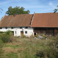
Einfirsthof
2.7 km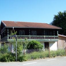
Wohnstallhaus
2.3 km
Ehemals Wohnstallhaus
2.3 kmReviews
Visited this place? Tap the stars to rate it and share your experience / photos with the community! Try now! You can cancel it anytime.
Discover hidden gems everywhere you go!
From secret cafés to breathtaking viewpoints, skip the crowded tourist spots and find places that match your style. Our app makes it easy with voice search, smart filtering, route optimization, and insider tips from travelers worldwide. Download now for the complete mobile experience.

A unique approach to discovering new places❞
— Le Figaro
All the places worth exploring❞
— France Info
A tailor-made excursion in just a few clicks❞
— 20 Minutes