
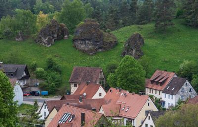
Huberfelsen in Alfeld, rock in Germany
Location: Alfeld
Inception: 1948
Elevation above the sea: 500 m
Length: 60 m
Width: 30 m
GPS coordinates: 49.42732,11.54339
Latest update: March 3, 2025 20:19
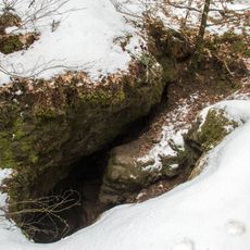
Alfelder Windloch
1.6 km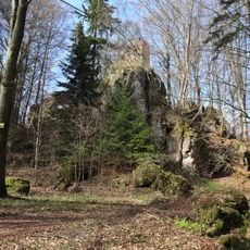
Burgruine Poppberg
3.4 km
Rinntal bei Alfeld
748 m
Kirchthalmühle
3.3 km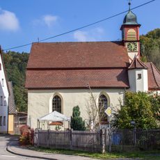
Schlosskirche in Happurg
3.6 km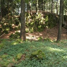
Burgstall Leherfels
2.4 km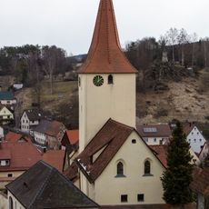
St. Bartholomäus Alfeld
326 m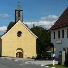
Evangelisch-lutherisch Kapelle St. Margaretha in Alfeld
3 km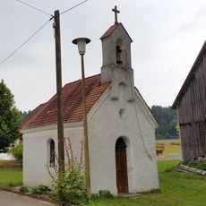
Marienkapelle
2.7 km
Poppberg
3.1 km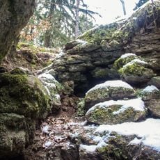
Cultural heritage D-5-6535-0001 Alfeld (Mittelfranken)
1.6 km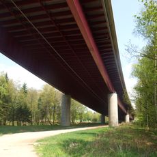
Bundesautobahnen Berlin - München, Nürnberg - Amberg, und Nürnberg - Regensburg
2.9 km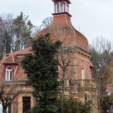
Villa in Alfeld
385 m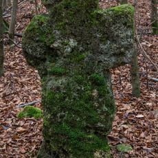
Steinkreuz Grafenbuch
2.3 km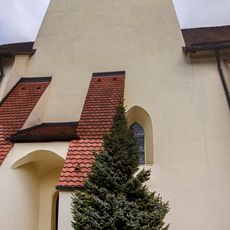
Cultural heritage D-5-6535-0104 in Alfeld (Mittelfranken)
327 m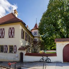
Castle in Thalheim near Happurg
3.6 km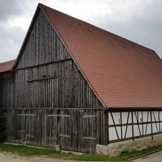
Zugehöriger Stadel
2.6 km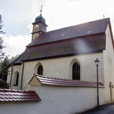
Cultural heritage D-5-6535-0123 in Happurg
3.6 km
Cultural heritage D-5-6535-0114 in Alfeld (Mittelfranken)
3 km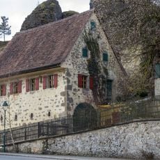
Scheune in Alfeld
52 m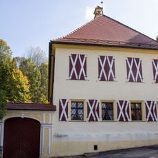
Cultural heritage D-5-6535-0124 in Happurg
3.6 km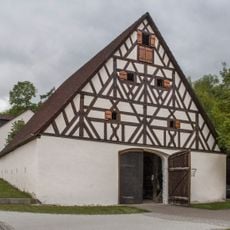
Scheune in Alfeld
1.3 km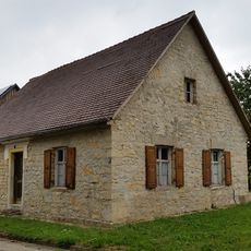
Wohnhaus, ehemalige Schule
3 km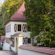
Mauer Am Schloß 4 (D-5-74-128-58#1)
3.6 km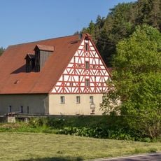
Ehemaliges Mühlgebäude in Alfeld
3.2 km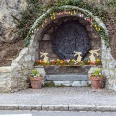
Easter fountains in Alfeld
197 m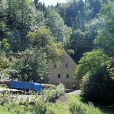
Backhaus in Alfeld
3.4 km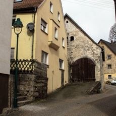
Ehemaliges Frühmessnerhaus in Alfeld
344 mReviews
Visited this place? Tap the stars to rate it and share your experience / photos with the community! Try now! You can cancel it anytime.
Discover hidden gems everywhere you go!
From secret cafés to breathtaking viewpoints, skip the crowded tourist spots and find places that match your style. Our app makes it easy with voice search, smart filtering, route optimization, and insider tips from travelers worldwide. Download now for the complete mobile experience.

A unique approach to discovering new places❞
— Le Figaro
All the places worth exploring❞
— France Info
A tailor-made excursion in just a few clicks❞
— 20 Minutes