
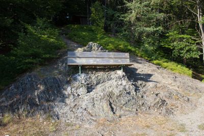
Kämmleinsfelsen SW von Geroldsgrün, Geotop in Landkreis Hof in Bavaria, Germany
Location: Geroldsgrüner Forst
Elevation above the sea: 625 m
Length: 30 m
Width: 10 m
GPS coordinates: 50.32992,11.56591
Latest update: March 7, 2025 06:01
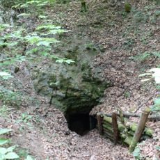
Alexander-von-Humboldt-Höhle
1.2 km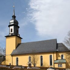
St. James the Greater (Geroldsgrün)
2.2 km
Burg Wallenrode
422 m
Frankenwarte (Frankenwald)
3.8 km
Friedelhöhe
4.5 km
Schneidberg
2.5 km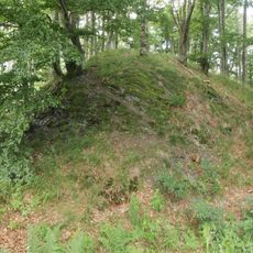
Burgstall Hohenrod
2.2 km
Buchenhänge
2.5 km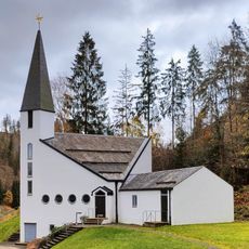
Christuskirche
2.1 km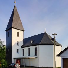
Johanneskirche
3.4 km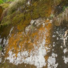
Aufgelassene Kalksteinbrüche am Rauheberg S von Langenau
1.1 km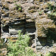
Ehem. Dachschieferbrüche bei Dürrenwaiderhammer
3.2 km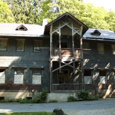
Forsthaus
661 m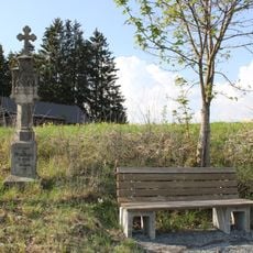
Bildstock
4.1 km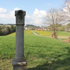
Bildstock
3.8 km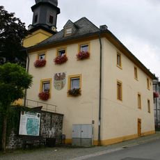
Rathaus
2.2 km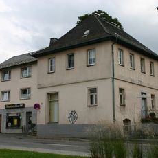
Forstamt
2.2 km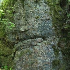
Burgstein im Geroldsgrüner Forst SW von Geroldsgrün
401 m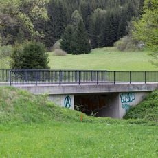
Brücke Pertschentalgraben; Langenau; Rainersgrund; Von Wolfersgrün zur Langenauer Straße, Langenauerbach in Steinwiesen
2.6 km
Cultural heritage D-4-5635-0010 Geroldsgrüner Forst
440 m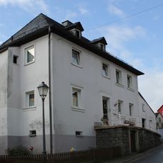
Wohnhaus
2.1 km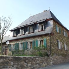
Forstamt
3.4 km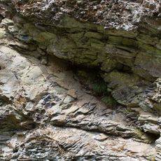
Straßenaufschluss Thiemitzwand NW von Schwarzenbach a. W.
4 km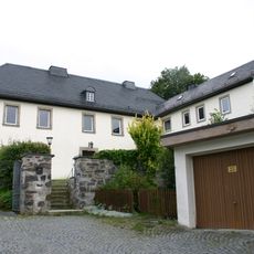
Pfarrhaus
2.2 km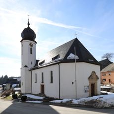
St. Georg
3.3 km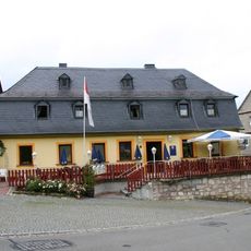
Gasthaus
2.1 km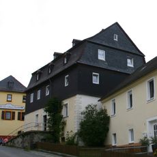
Wohnhaus
2.1 km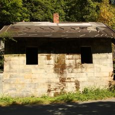
Waschhaus Langenau 2 in Geroldsgrün
628 mReviews
Visited this place? Tap the stars to rate it and share your experience / photos with the community! Try now! You can cancel it anytime.
Discover hidden gems everywhere you go!
From secret cafés to breathtaking viewpoints, skip the crowded tourist spots and find places that match your style. Our app makes it easy with voice search, smart filtering, route optimization, and insider tips from travelers worldwide. Download now for the complete mobile experience.

A unique approach to discovering new places❞
— Le Figaro
All the places worth exploring❞
— France Info
A tailor-made excursion in just a few clicks❞
— 20 Minutes