
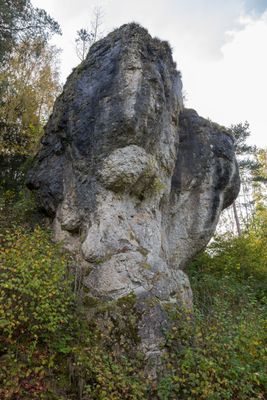
Heidenstein im Todsfeld bei Thuisbrunn, Geotop in Landkreis Forchheim in Bavaria, Germany
Location: Gräfenberg
Elevation above the sea: 460 m
Length: 20 m
Width: 10 m
Website: http://www.umweltatlas.bayern.de/mapapps/resources/reports/geotope/generateBericht.pdf?additionallayerfieldvalue=474R022
GPS coordinates: 49.68979,11.25300
Latest update: April 8, 2025 02:34
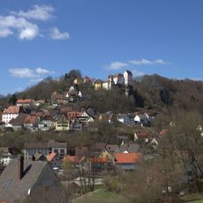
Schloss
1.5 km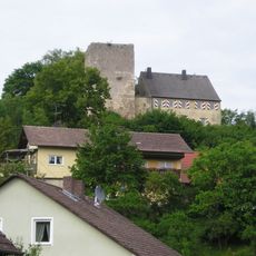
Thuisbrunn Castle
425 m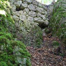
Burgstall Schlossberg (Haidhof)
2.5 km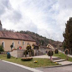
St. Felicitas
2.9 km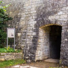
Egloffsteiner Felsenkeller
1.3 km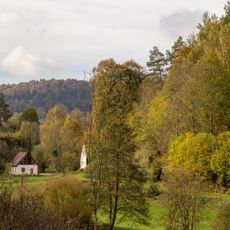
Todsfelder Tal
313 m
Abschnittsbefestigung Burggraf
2.3 km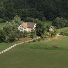
Burgstall Dörnhof
2 km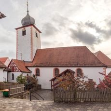
Pfarrkirche
2.6 km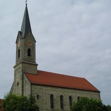
St. Katharina
280 m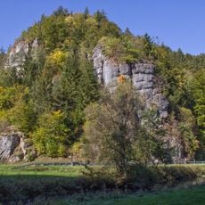
LSG Fränkische Schweiz - Veldensteiner Forst im Regierungsbezirk Oberfranken
2 km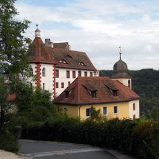
Schlosskirche
1.4 km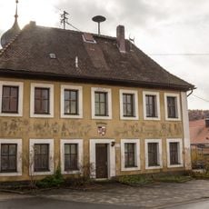
Rathaus Affalterthal
2.6 km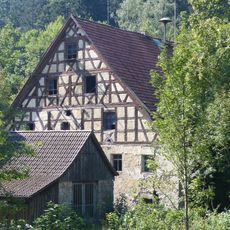
Mühle
1.5 km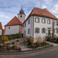
Cultural heritage D-4-6233-0244 in Egloffstein
2.6 km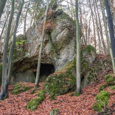
Felsen mit Bocksloch E von Affalterthal
3 km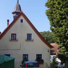
Bürgerzentrum
2.7 km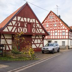
Bauernhof Affalterthal 13
2.5 km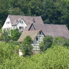
Burgstall
2 km
Amtshaus
1.4 km
Mühle
1.5 km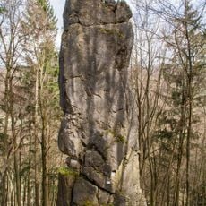
Die Hohen Kirchfelsen W von Untertrubach
2.3 km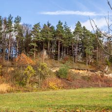
Kürzenberg E von Affalterthal
3.2 km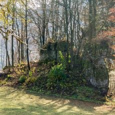
Felstürme in der Walkersgrube SE von Affalterthal
3 km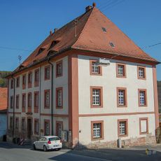
Ehemals Zehntscheuer und Witwensitz Neuer Bau
1.3 km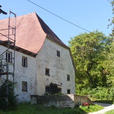
Cultural heritage D-4-74-124-34 in Egloffstein
909 m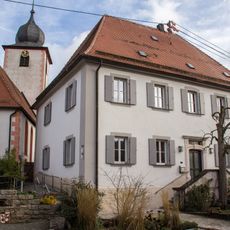
Pfarrhaus Affalterthal
2.6 km
Bauernhaus Affalterthal 4
2.5 kmReviews
Visited this place? Tap the stars to rate it and share your experience / photos with the community! Try now! You can cancel it anytime.
Discover hidden gems everywhere you go!
From secret cafés to breathtaking viewpoints, skip the crowded tourist spots and find places that match your style. Our app makes it easy with voice search, smart filtering, route optimization, and insider tips from travelers worldwide. Download now for the complete mobile experience.

A unique approach to discovering new places❞
— Le Figaro
All the places worth exploring❞
— France Info
A tailor-made excursion in just a few clicks❞
— 20 Minutes