
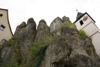
Kirchfelsen in Hiltpoltstein, Geotop in Landkreis Forchheim in Bavaria, Germany
Location: Hiltpoltstein
Elevation above the sea: 510 m
Length: 20 m
Width: 14 m
GPS coordinates: 49.65987,11.32074
Latest update: March 5, 2025 03:38
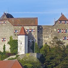
Hiltpoltstein Castle
83 m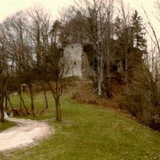
Burgruine in Simmelsdorf
3.3 km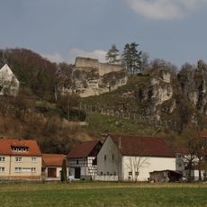
Burgruine Wolfsberg
3.3 km
Torbau mit Resten einer Burg in Simmelsdorf
3.5 km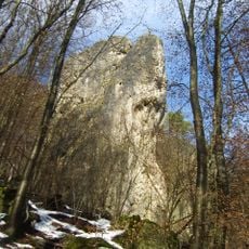
Zehnerstein
3.3 km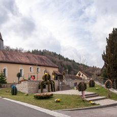
St. Felicitas
3.3 km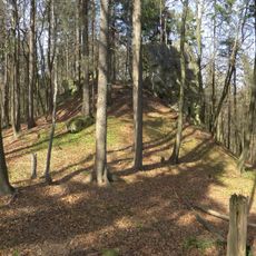
Burgstall Spitzenberg
3 km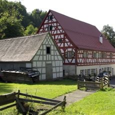
Mühle
3.4 km
Gasthaus
102 m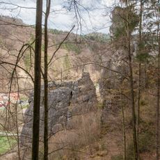
Dohlenstein S von Wolfsberg
3 km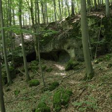
Wirrlesloch
3.6 km
Abschnittsbefestigung in Simmelsdorf
3.6 km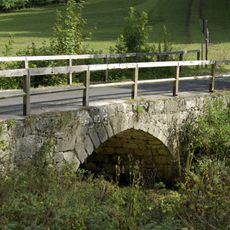
Steinbrücke
3.5 km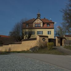
Pfarrhaus in Simmelsdorf
3.6 km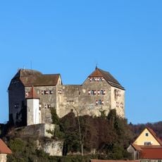
Bodendenkmal in Hiltpoltstein, #D-4-6333-0217
63 m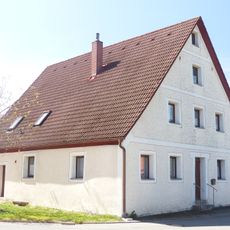
Bauernhaus
1.3 km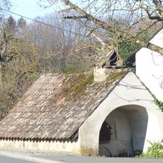
Backhaus
2.3 km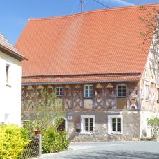
Gasthaus
2.4 km
Cultural heritage D-5-6334-0047 in Simmelsdorf
3.6 km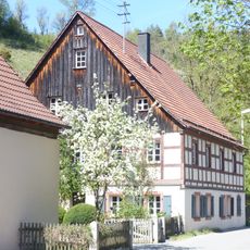
Bauernhaus
2.7 km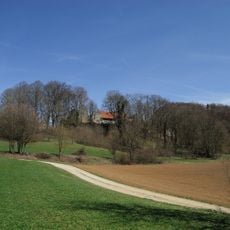
Mittlelalterliche Befunde in Simmelsdorf
3.5 km
Bauernhaus
2.5 km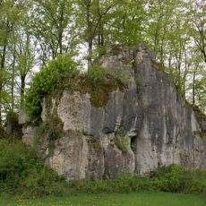
Druidenstein NW von Hiltpoltstein
395 m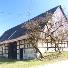
Scheune
2.1 km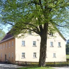
Bauernhaus
2.5 km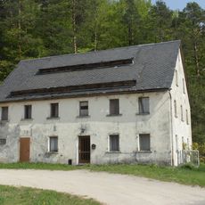
Wohnstallhaus in Simmelsdorf
3.2 km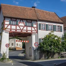
Torhaus
157 m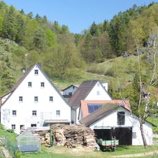
Mühle
2.7 kmReviews
Visited this place? Tap the stars to rate it and share your experience / photos with the community! Try now! You can cancel it anytime.
Discover hidden gems everywhere you go!
From secret cafés to breathtaking viewpoints, skip the crowded tourist spots and find places that match your style. Our app makes it easy with voice search, smart filtering, route optimization, and insider tips from travelers worldwide. Download now for the complete mobile experience.

A unique approach to discovering new places❞
— Le Figaro
All the places worth exploring❞
— France Info
A tailor-made excursion in just a few clicks❞
— 20 Minutes