
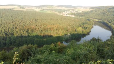
Mainschleife bei Urphar, Geotop in Landkreis Main-Spessart in Bavaria, Germany
Location: Kreuzwertheim
Elevation above the sea: 130 m
Length: 4,000 m
Width: 500 m
GPS coordinates: 49.74509,9.56253
Latest update: March 3, 2025 14:46
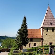
Jakobskirche
759 m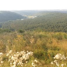
Wettenburg
1.7 km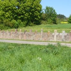
Steinkreuznest bei Reicholzheim
2.9 km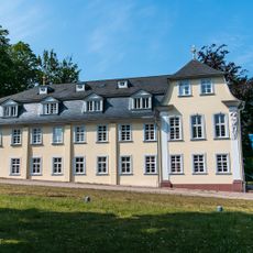
Schlösschen im Hofgarten
2.9 km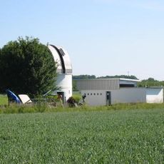
Johann-Kern-Sternwarte Wertheim
1.6 km
Haidhof
2.2 km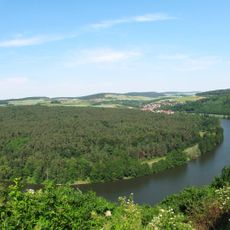
Leidenrain
1.3 km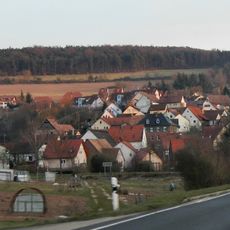
Kembachtal
1.3 km
Klosterweg
1.4 km
Eichgrundsiedlung
1.2 km
Mittelhof
2.9 km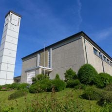
St. Lioba
2.8 km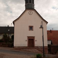
Evangelische Kirche Lindelbach
2.1 km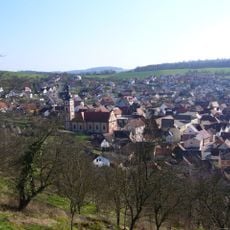
St. Georg
2.6 km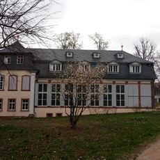
Kunstgalerie im Schlösschen im Hofgarten
2.9 km
Dreifaltigkeitskapelle
2.5 km
Kriegerdenkmal
2.1 km
Veitskirche
2.6 km
Kriegerdenkmal
3 km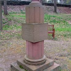
Hungerdenkmal im Hofgarten
2.8 km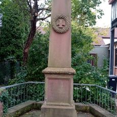
Kriegerdenkmal
2.7 km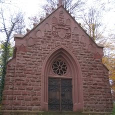
Hofgartenkapelle
2.9 km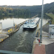
Staustufe Eichel
1.4 km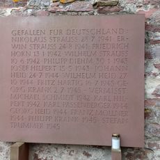
Kriegerdenkmal
2.6 km
Kriegerdenkmal
2.6 km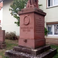
Kriegerdenkmal
2.1 km
Kriegerdenkmal
2.6 km
Kriegerdenkmal
2.1 kmReviews
Visited this place? Tap the stars to rate it and share your experience / photos with the community! Try now! You can cancel it anytime.
Discover hidden gems everywhere you go!
From secret cafés to breathtaking viewpoints, skip the crowded tourist spots and find places that match your style. Our app makes it easy with voice search, smart filtering, route optimization, and insider tips from travelers worldwide. Download now for the complete mobile experience.

A unique approach to discovering new places❞
— Le Figaro
All the places worth exploring❞
— France Info
A tailor-made excursion in just a few clicks❞
— 20 Minutes