
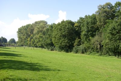
Talzug Heidestraße, protected landscape in Bavaria, Germany
Location: Fürth
Inception: 1998
GPS coordinates: 49.49468,10.95895
Latest update: April 2, 2025 17:27
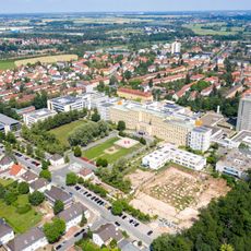
Klinikum Fürth
1.6 km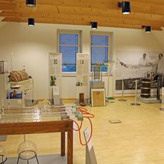
Dialysemuseum Fürth
1.7 km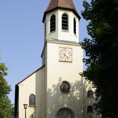
St. Martin
1.8 km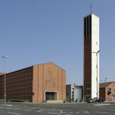
Christkönig
1.6 km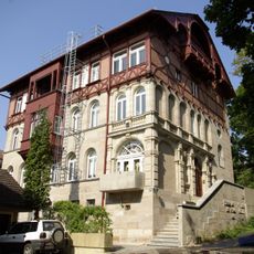
Villa in Hanglage
1.8 km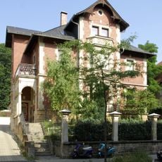
Vacher Straße 13
1.9 km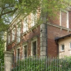
Villa in Hang- und Ecklage
1.9 km
Gasthaus Rotes Ross
638 m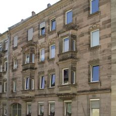
Vacher Straße 4
2 km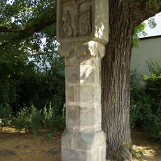
Rote Marter
1.5 km
Flughafen Nürnberg-Fürth
767 m
Kriegerdenkmal
1.3 km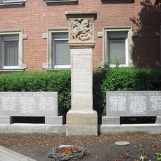
Kriegerdenkmal
846 m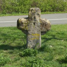
Steinkreuz
1.2 km
Wohnhaus
691 m
Atzenhofer Straße 48
1.3 km
Wohnstallhaus
709 m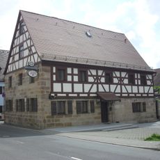
Ehemaliges Bauernhaus, jetzt Gasthaus
723 m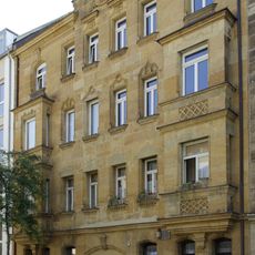
Mietshaus
1.9 km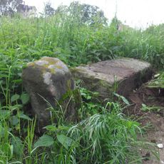
Grenzstein
487 m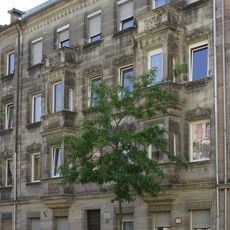
Mietshaus
2 km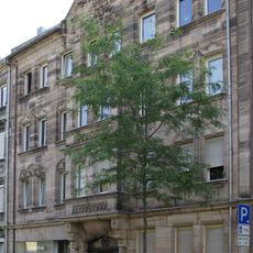
Mietshaus
2 km
Gaststätte Zum Schlößla
1.9 km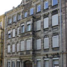
Mietshaus
1.9 km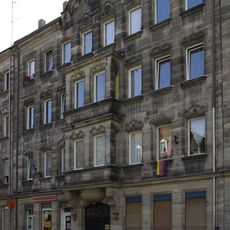
Mietshaus
2 km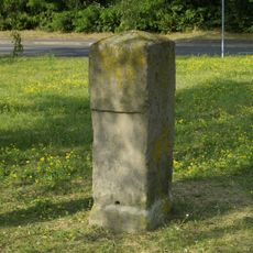
Luisenstein
1.3 km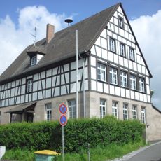
Schulhaus
870 m
Normalflugzeughalle
914 mReviews
Visited this place? Tap the stars to rate it and share your experience / photos with the community! Try now! You can cancel it anytime.
Discover hidden gems everywhere you go!
From secret cafés to breathtaking viewpoints, skip the crowded tourist spots and find places that match your style. Our app makes it easy with voice search, smart filtering, route optimization, and insider tips from travelers worldwide. Download now for the complete mobile experience.

A unique approach to discovering new places❞
— Le Figaro
All the places worth exploring❞
— France Info
A tailor-made excursion in just a few clicks❞
— 20 Minutes