
Schutz der Donautallandschaft mit den Winzerer Höhen, protected landscape in Bavaria, Germany
Location: Regensburg
Location: Regensburg
Inception: 1973
GPS coordinates: 49.02763,12.05265
Latest update: March 7, 2025 18:51
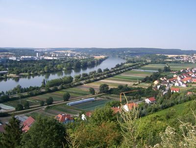
Winzerer Höhen
1.4 km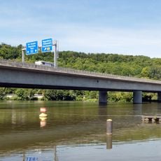
Pfaffenstein motorway bridge
1.7 km
Church of the Immaculate Heart of Mary
1.6 km
Krankenhauskirche Pius V.
1.5 km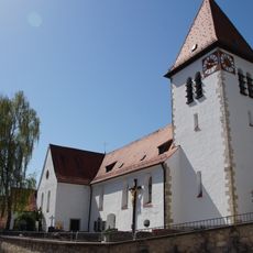
St. Nikolaus
876 m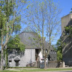
St. Markus
1.5 km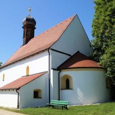
St. Michael (Kager)
1.2 km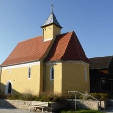
Mariä Himmelfahrt (Kneiting)
1.8 km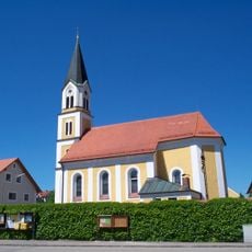
St. Peter und Paul (Kneiting)
1.4 km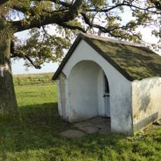
Watzlik-Kapelle
1.8 km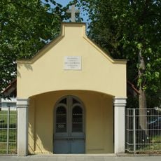
Wegkapelle
1.1 km
Quellhaus
921 m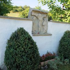
Wegkreuz und Bildstockfragment
979 m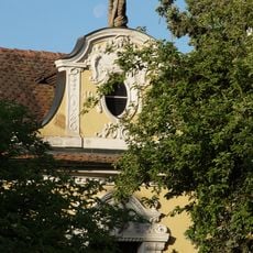
Gartenhaus
1.9 km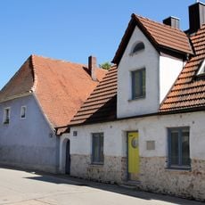
Wohnhaus
1 km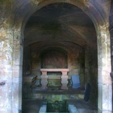
Brunnstube, anstelle eines älteren Brunnenhauses von 1549/50
2 km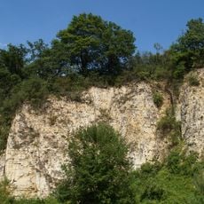
Ehemaliger Steinbruch SW von Kager
1.5 km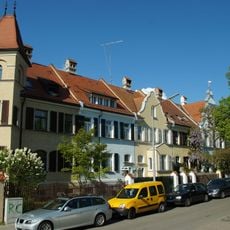
Cultural heritage monuments in Regensburg: Herrichstraße
1.9 km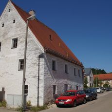
Wohnhaus
525 m
Wohnhaus
2 km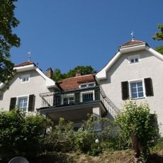
Wohnhaus in Hanglage
1.2 km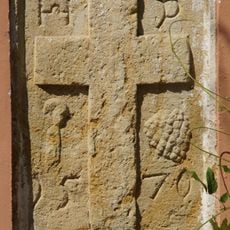
Wohnhaus
1.4 km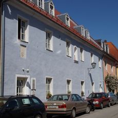
Ehemalige Tafernwirtschaft, später Schulhaus von Niederwinzer
969 m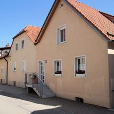
Wohnhaus
932 m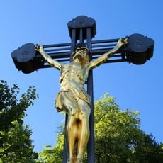
Wasserkreuz, Kreuz der Fischer und Schiffsmeister am Wehrlochweg
1.7 km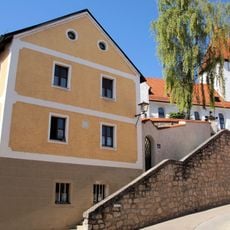
Mühle
854 m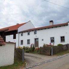
Bauernhaus
1.3 km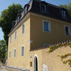
Wohnhaus
1.5 kmReviews
Visited this place? Tap the stars to rate it and share your experience / photos with the community! Try now! You can cancel it anytime.
Discover hidden gems everywhere you go!
From secret cafés to breathtaking viewpoints, skip the crowded tourist spots and find places that match your style. Our app makes it easy with voice search, smart filtering, route optimization, and insider tips from travelers worldwide. Download now for the complete mobile experience.

A unique approach to discovering new places❞
— Le Figaro
All the places worth exploring❞
— France Info
A tailor-made excursion in just a few clicks❞
— 20 Minutes