
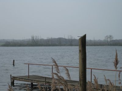
Wald- und Moorlandschaft um den Röggeliner See, protected area in the European Union defined by the habitats directive in Mecklenburg-Vorpommern, Germany
Location: Nordwestmecklenburg District
Inception: 2004
GPS coordinates: 53.72832,10.93726
Latest update: March 11, 2025 12:25
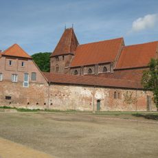
Prämonstratenserinnenstift Rehna
9.4 km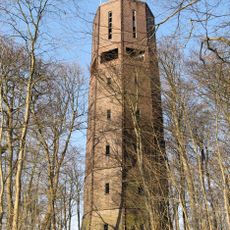
Water tower Ratzeburg Hindenburghöhe
10.5 km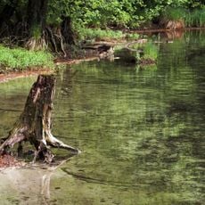
Salemer Moor mit angrenzenden Wäldern und Seen
8.8 km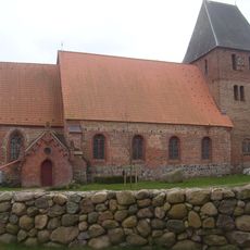
Church in Schlagsdorf
7.5 km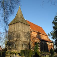
St. Marien
10 km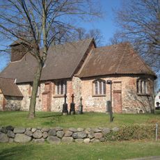
Church in Ziethen
9.1 km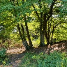
Müggenburg
10.1 km
Church in Demern
3.5 km
Kittlitzer Hofsee und Umgebung
8.2 km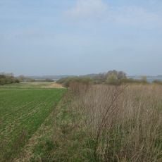
Kuhlrader Moor und Röggeliner See
1.4 km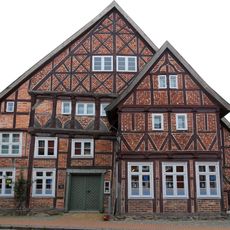
Deutsches Haus
9.3 km
Radegasttal
9.3 km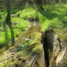
Steinerne Rinne und Mechower Holz
9.5 km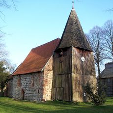
Church in Roggendorf
6.5 km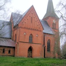
Dorfkirche Carlow
3.4 km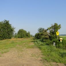
Lankower See
6 km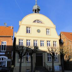
Altes Rathaus
9.5 km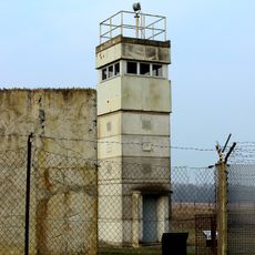
Grenzhus Museum & Informationszentrum
7.5 km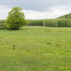
Maura und Krukenbek
10 km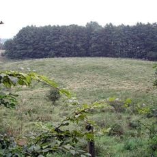
Burgwall Kittlitz
7.3 km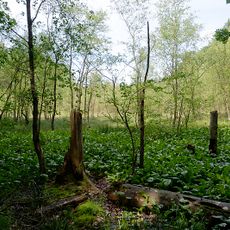
Lankower Seeufer, Grammsee und Umgebung
6.1 km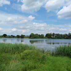
Goldensee
4.2 km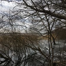
Mechower See
7.6 km
Grenzhus Schlagsdorf
7.5 km
Biosphärenreservat Schaalsee
6 km
Kirche St. Maria Magdalena
5.8 km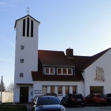
St. Marien
9.3 km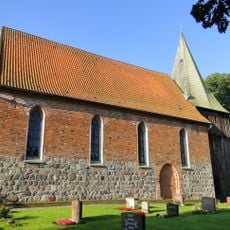
Kirche St. Maria Magdalena mit Ausstattung
5.8 kmVisited this place? Tap the stars to rate it and share your experience / photos with the community! Try now! You can cancel it anytime.
Discover hidden gems everywhere you go!
From secret cafés to breathtaking viewpoints, skip the crowded tourist spots and find places that match your style. Our app makes it easy with voice search, smart filtering, route optimization, and insider tips from travelers worldwide. Download now for the complete mobile experience.

A unique approach to discovering new places❞
— Le Figaro
All the places worth exploring❞
— France Info
A tailor-made excursion in just a few clicks❞
— 20 Minutes