
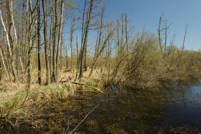
Tegeler Fließ, protected landscape in Berlin, Germany
Location: Reinickendorf
Inception: May 8, 1990
GPS coordinates: 52.61290,13.32300
Latest update: March 4, 2025 02:54
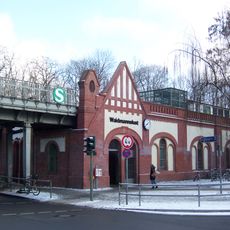
Berlin-Waidmannslust station
736 m
Berlin-Hermsdorf station
1.2 km
Georg Herwegh Gymnasium
1.4 km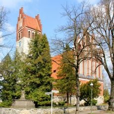
Königin-Luise-Kirche
1.2 km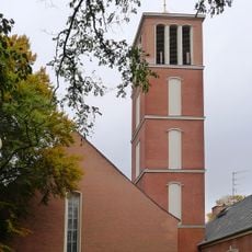
Apostel-Paulus-Kirche
939 m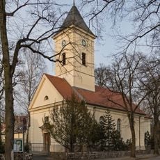
Dorfkirche Hermsdorf
405 m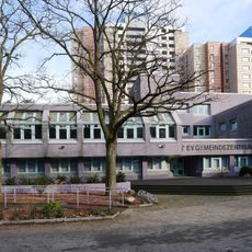
Gemeindezentrum Rollberge
996 m
Regina Mundi (Berlin-Waidmannslust)
403 m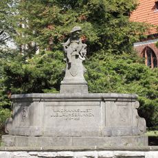
Jubiläumsbrunnen von Waidmannslust
1.2 km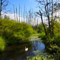
Tegeler Fließtal
815 m
Tegeler Fließtal
1.4 km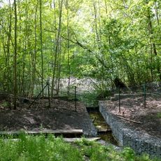
Ziegeleigraben/Albtalweg
765 m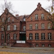
Gemeindeschule Hermsdorf
407 m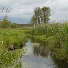
Tegeler Fließ
783 m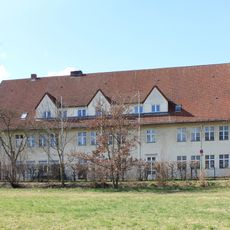
Volksschule Lübars
1.2 km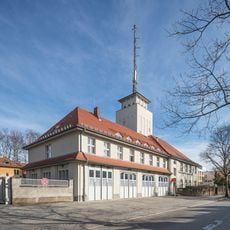
Fire station Hermsdorf 2300
995 m
Luftschutzbunker Wittenauer Straße 68/70
1.4 km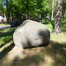
Findling am Waidmannsluster Damm Ecke Dianastraße
1.4 km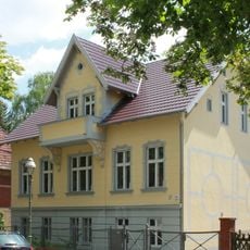
Wohnhaus Nimrodstraße 29
1.1 km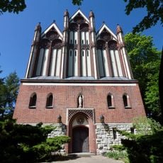
Queen Luise
1.2 km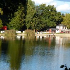
Freibad Lübars
937 m
Luftschutzbunker Wittenauer Straße 76/80
1.4 km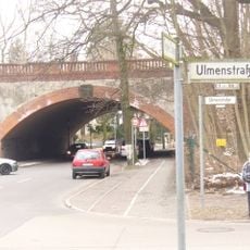
Eisenbahnbrücke Schulzendorfer Straße, Tegeler Straße
708 m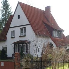
Haus Schmidt
1.4 km
Dianaplatz
1 km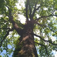
Stiel-Eiche Bondickstraße 24
1.4 km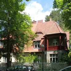
Wohnhaus & Einfriedung Am Dianaplatz 4 & 5
970 m
Straße 19A
1.2 kmReviews
Visited this place? Tap the stars to rate it and share your experience / photos with the community! Try now! You can cancel it anytime.
Discover hidden gems everywhere you go!
From secret cafés to breathtaking viewpoints, skip the crowded tourist spots and find places that match your style. Our app makes it easy with voice search, smart filtering, route optimization, and insider tips from travelers worldwide. Download now for the complete mobile experience.

A unique approach to discovering new places❞
— Le Figaro
All the places worth exploring❞
— France Info
A tailor-made excursion in just a few clicks❞
— 20 Minutes