
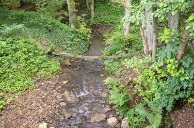
Hammerbachtal, nature reserve in Germany
Location: Warburg
Inception: 2002
GPS coordinates: 51.53899,8.99868
Latest update: March 6, 2025 22:17
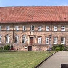
Hardehausen Abbey
1.3 km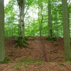
Stadtwüstung Blankenrode
4.4 km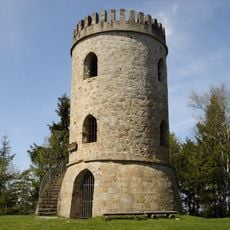
Bierbaums Nagel
5.2 km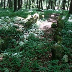
Galeriegrab von Warburg-Rimbeck
4.5 km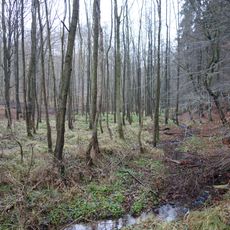
Klingelbachtal
4.5 km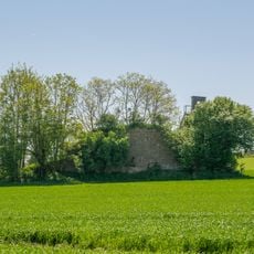
Asselerburg
5.5 km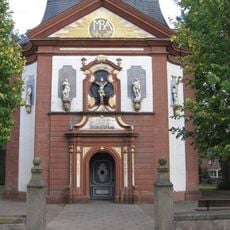
Church of the Visitation
5.4 km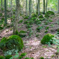
Klippen und Felsenmeer bei Hardehausen
2.4 km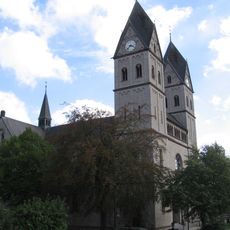
St. Elisabeth (Rimbeck)
3.9 km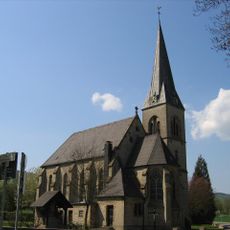
St. Maria Hilfe der Christen
5.4 km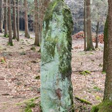
Bülheimer Großmutter
4.2 km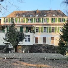
Briloner Straße 102
2.2 km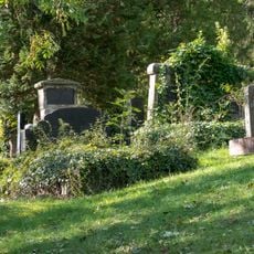
Jüdischer Friedhof
2.8 km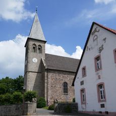
Holy Cross Church
4.4 km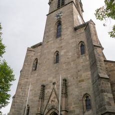
St. Vincentius
2.2 km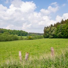
Pölinxer Grund
2.9 km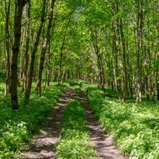
Asseler Wald
4.6 km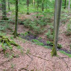
Schwarzbachtal
4.7 km
Hellberg-Scheffelberg
1.5 km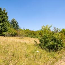
Goldberg
1 km
Schwarzbachtal
3.8 km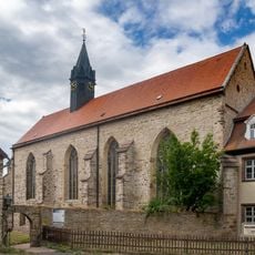
Klosterkirche Wormeln
2.2 km
Vogelschutzgebiet Egge
5.5 km
Kirchhaus Rimbeck
3.4 km
Quast bei Diemelstadt-Rhoden
5 km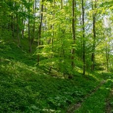
Drachenholl-Diemelaue
2.9 km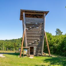
Wisent-Tower
246 m
Baumgruppe am Kulturdenkmal Turmhügel
3.8 kmReviews
Visited this place? Tap the stars to rate it and share your experience / photos with the community! Try now! You can cancel it anytime.
Discover hidden gems everywhere you go!
From secret cafés to breathtaking viewpoints, skip the crowded tourist spots and find places that match your style. Our app makes it easy with voice search, smart filtering, route optimization, and insider tips from travelers worldwide. Download now for the complete mobile experience.

A unique approach to discovering new places❞
— Le Figaro
All the places worth exploring❞
— France Info
A tailor-made excursion in just a few clicks❞
— 20 Minutes