
Teiche und Feuchtgebiete nordöstlich Kodersdorf, protected area in the European Union defined by the habitats directive in Sachsen, Germany
Location: Horka
Location: Rothenburg
Location: Neißeaue
Inception: 2002
GPS coordinates: 51.28757,14.94630
Latest update: April 9, 2025 17:24
Kulturinsel Einsiedel
5.4 km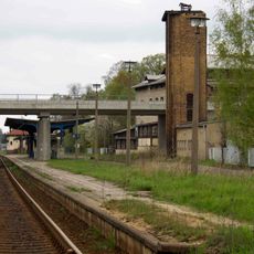
Horka station
3.6 km
Bahnhof Horka Gbf
2.4 km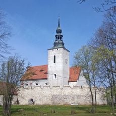
Wehrkirche Horka
3.8 km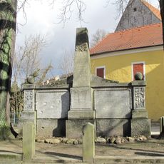
Kriegerdenkmal
3.8 km
Węgliniec-Horka border crossing
6 km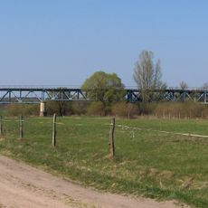
Zentendorfer Neisseviadukt
6 km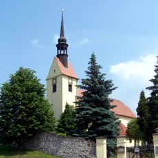
Kirche und Kirchhof Zodel; Kirche mit Kirchhof und Einfriedungsmauer, Gruft und Kriegerdenkmal für die Gefallenen des Ersten Weltkrieges Dorfstraße 81a
7.1 km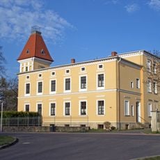
Nesselgut; Wohnhaus eines ehemaligen Gutes Dorfstraße 98
7 km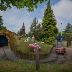
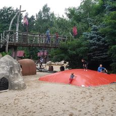
Kinderspielpark Kaltwasser
2.5 km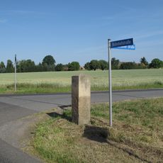
Wegestein Kodersdorf
5.8 km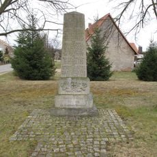
Noes, Gefallenendenkmal WK I
6 km
Särichen, Gefallenendenkmale WK I und WK II
5.1 km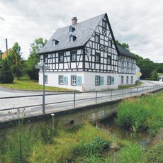
Gasthaus Am Feilebach 4
4.9 km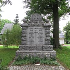
Kodersdorf, Gefallenendenkmal WK I
6.4 km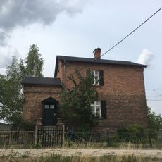
Horka Bahnwärterhaus Am Gleisdreieck 1
4.2 km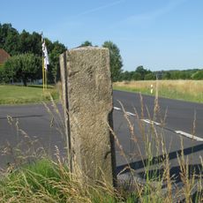
Wegestein Horka Abzweig Mückenhain
5.8 km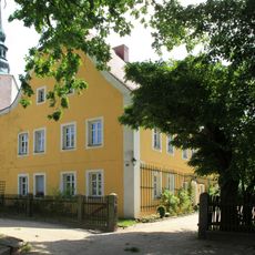
Pfarrhaus Horka
3.8 km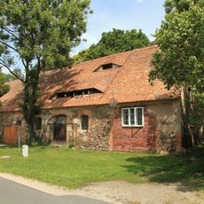
Einzeldenkmale der Sachgesamtheit Rittergut Horka: Stallscheune des ehemaligen Gutshofes (siehe auch Sachgesamtheitsliste Am Gemeindeamt 2, 3, 4 - obj. 08985816) Am Gemeindeamt 4
3.8 km
Weißwasser, Tor des ehemaligen Friedhofs
3.9 km
Doppelwohnhaus mit Anbau über Eck Schenkendorfstraße 2; 4
6.9 km
Doppelwohnhaus in offener Bebauung mit Anbau über Eck Schenkendorfstraße 6; 8
6.9 km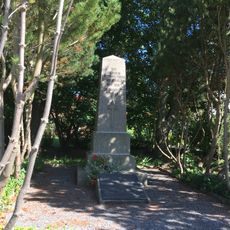
Geheege, Gefallenendenkmal
3.9 km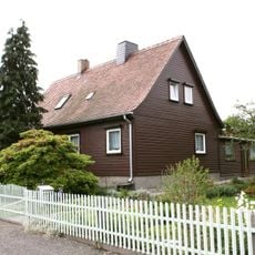
Doppelwohnhaus mit Anbau über Eck Schenkendorfstraße 5; 7
7 km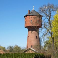
Château d'eau d'Uhsmannsdorf
5.7 km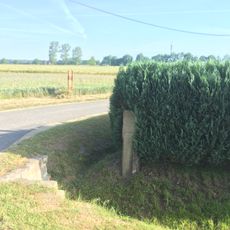
Wegestein Am Gemeindeamt 9 (gegenüber)
3.9 km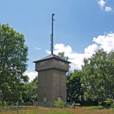
Wasserturm (etwa 400 Meter westlich des Ortes)
5.4 km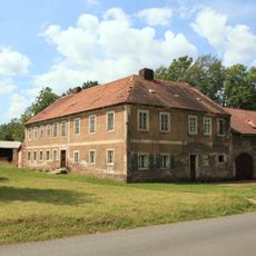
Einzeldenkmale der Sachgesamtheit Rittergut Horka: Wohnhaus mit Wirtschaftsflügel (siehe auch Sachgesamtheitsliste Am Gemeindeamt 2, 3, 4 - obj. 08985816) Am Gemeindeamt 3
3.8 kmReviews
Visited this place? Tap the stars to rate it and share your experience / photos with the community! Try now! You can cancel it anytime.
Discover hidden gems everywhere you go!
From secret cafés to breathtaking viewpoints, skip the crowded tourist spots and find places that match your style. Our app makes it easy with voice search, smart filtering, route optimization, and insider tips from travelers worldwide. Download now for the complete mobile experience.

A unique approach to discovering new places❞
— Le Figaro
All the places worth exploring❞
— France Info
A tailor-made excursion in just a few clicks❞
— 20 Minutes