
Kalkmagerrasen Trebbin, protected area in the European Union defined by the habitats directive in Brandenburg, Germany
Location: Trebbin
Inception: 2000
GPS coordinates: 52.23152,13.25737
Latest update: March 2, 2025 20:54
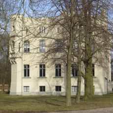
Gutshaus Märkisch Wilmersdorf
2.9 km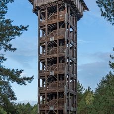
Vorderer Löwendorfer Berg
4.9 km
Burg Trebbin
3.8 km
Gutshaus Großbeuthen
3.7 km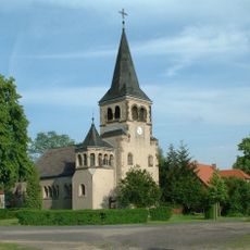
Dorfkirche Kerzendorf
4.6 km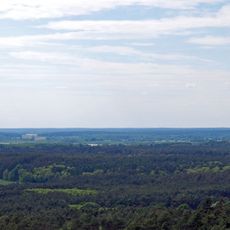
Nuthe-Nieplitz-Niederung
4.9 km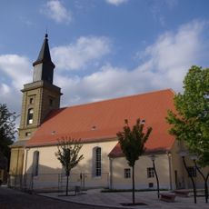
St. Marienkirche
3.6 km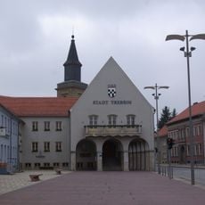
Rathaus Trebbin
3.6 km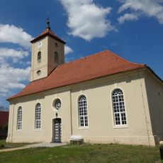
Dorfkirche Nunsdorf
3.9 km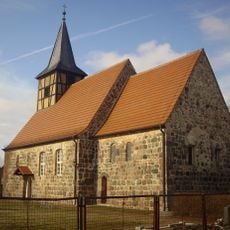
Dorfkirche Thyrow
2.7 km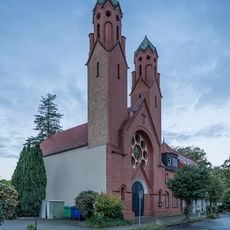
St. Joseph (Trebbin)
2.7 km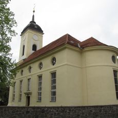
Dorfkirche
2.5 km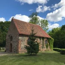
St.-Annen-Kapelle
3 km
Eichberg-Haus
2.2 km
Neues Schützenhaus
2.5 km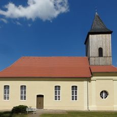
Village church Märkisch Wilmersdorf
2.6 km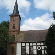
Protestant Church
3.8 km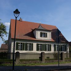
Pfarrhaus Christinendorf
2.5 km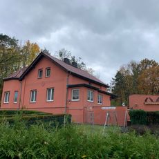
Ziegelei (Trebbin)
4.6 km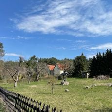
Finkenberg (Trebbin)
5.3 km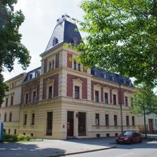
Berliner Straße 43
3.3 km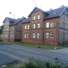
Industriestraße 1 b
2.4 km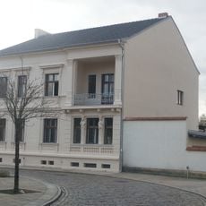
Puschkinstraße 1
3.6 km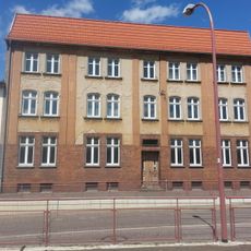
Zossener Straße 5
2.6 km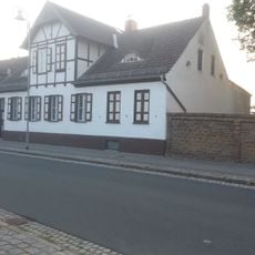
Luckenwalder Straße 5
3.7 km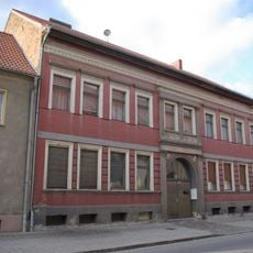
Luckenwalder Straße 2
3.6 km
Löwendorfer Berg Observation Tower
4.9 km
Naturdenkmal Zwei Eichen an der Kirche Christinendorf
2.4 kmVisited this place? Tap the stars to rate it and share your experience / photos with the community! Try now! You can cancel it anytime.
Discover hidden gems everywhere you go!
From secret cafés to breathtaking viewpoints, skip the crowded tourist spots and find places that match your style. Our app makes it easy with voice search, smart filtering, route optimization, and insider tips from travelers worldwide. Download now for the complete mobile experience.

A unique approach to discovering new places❞
— Le Figaro
All the places worth exploring❞
— France Info
A tailor-made excursion in just a few clicks❞
— 20 Minutes