
Lugkteichgebiet, protected area in the European Union defined by the habitats directive in Brandenburg, Germany
Location: Sonnewalde
Inception: 2000
GPS coordinates: 51.71771,13.60164
Latest update: March 6, 2025 00:04

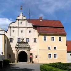
Schloss Sonnewalde
3.8 km
Weißgerbermuseum Doberlug-Kirchhain
9.1 km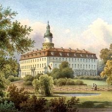
Standesherrschaft Sonnewalde
5.1 km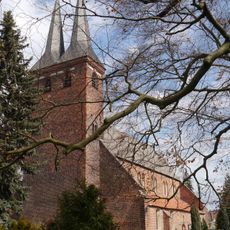
Stadtpfarrkirche
9.1 km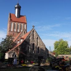
Dorfkirche Werenzhain
8.4 km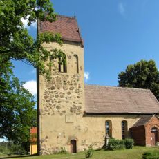
Village Church (Proßmarke)
7.9 km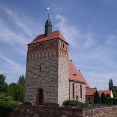
St. Pantaleon
6.6 km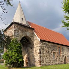
Dorfkirche Walddrehna
6.8 km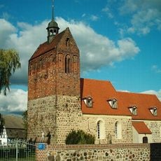
Dorfkirche Trebbus
6.8 km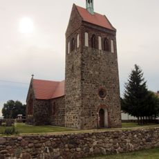
Dorfkirche Arenzhain
8 km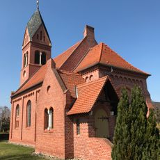
Münchhausen church
6.4 km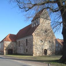
Dorfkirche Bornsdorf
8.9 km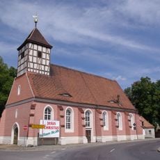
Sonnewalde church
3.9 km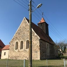
Wehnsdorf church
4.3 km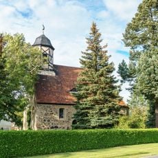
Dorfkirche Großkrausnik
2.6 km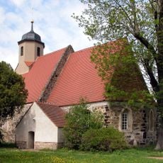
Village church Zeckerin
2.2 km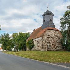
Dorfkirche Friedersdorf
3 km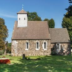
Village church Schönewalde (Sonnewalde)
4.3 km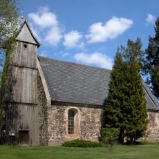
Dorfkirche Gahro
8.8 km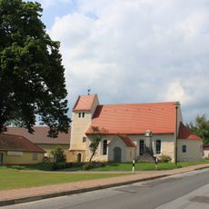
Protestant Church (Hillmersdorf)
7.8 km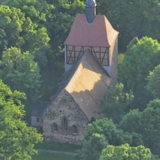
Village church Goßmar
6.2 km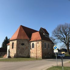
Naturdenkmal Stieleiche Dorfstraße in Bornsdorf, westlich der Kirche, Flur 3, Flurstück 96/2 in Bornsdorf
8.8 km
Dorfkirche Weißack
7.3 km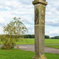
Polish-Saxon Post Milestone Dabern
4.6 km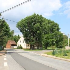
Naturdenkmal Stieleiche Dorfstraße; Flur 1, Flurstück 265 in Hillmersdorf
7.7 km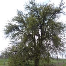
Wildbirne
9 km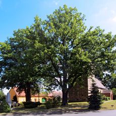
Friedenseiche Proßmarke
7.9 km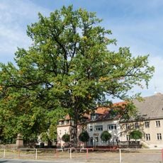
Naturdenkmal Stieleiche Sonnewalde, Marktplatz; Flur 1, Flurstück 783 in Sonnewalde
3.9 kmReviews
Visited this place? Tap the stars to rate it and share your experience / photos with the community! Try now! You can cancel it anytime.
Discover hidden gems everywhere you go!
From secret cafés to breathtaking viewpoints, skip the crowded tourist spots and find places that match your style. Our app makes it easy with voice search, smart filtering, route optimization, and insider tips from travelers worldwide. Download now for the complete mobile experience.

A unique approach to discovering new places❞
— Le Figaro
All the places worth exploring❞
— France Info
A tailor-made excursion in just a few clicks❞
— 20 Minutes