
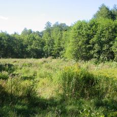
Müggelspreeniederung, protected area in the European Union defined by the habitats directive in Brandenburg, Germany
Location: Grünheide (Mark)
Location: Fürstenwalde/Spree
Location: Spreenhagen
Inception: 2000
GPS coordinates: 52.37743,13.92136
Latest update: April 7, 2025 05:30
Löcknitztal
5.7 km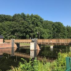
Große Tränke
5 km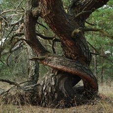
Swatzke- und Skabyberge
8.4 km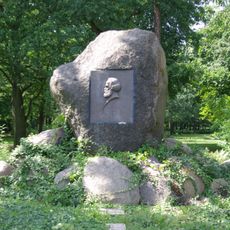
Karl-Marx-Monument
9.3 km
Church of Hope Spreenhagen
5.7 km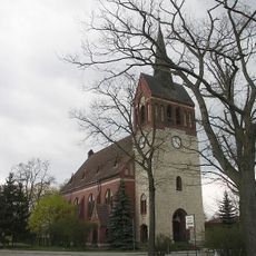
Village church Markgrafpieske
5.9 km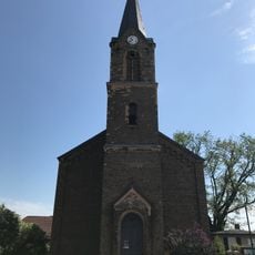
Village church Kagel
9.3 km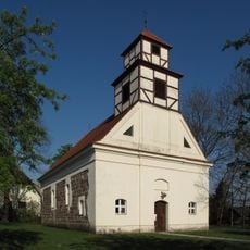
Village church Trebus (Fürstenwalde)
8.7 km
Fürstenwalde Südwest
7.3 km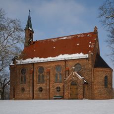
Good Shepherd church Grünheide
8.4 km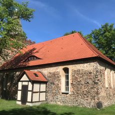
Village church Rauen
8.8 km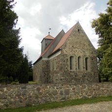
Village church Jänickendorf
9 km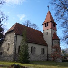
Village church Kienbaum
8.9 km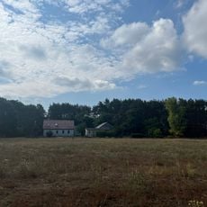
Röthen
4.7 km
Großes Fürstenwalder Stadtluch
3.3 km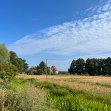
Schlößchen
6.2 km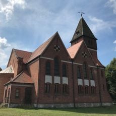
Village church in Spreenhagen
5 km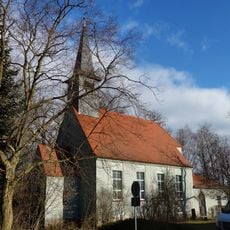
Church in Hangelsberg
1.9 km
Hartmannsdorf-Stäbchen
7.9 km
Hirsegarten
5.3 km
Kerring
5.7 km
Landschaftsschutzgebiet Müggelspree-Löcknitzer Wald- und Seengebiet
5 km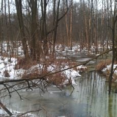
Triebschsee
8.8 km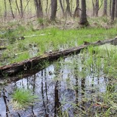
Großes Fürstenwalder Stadtluch
3.2 km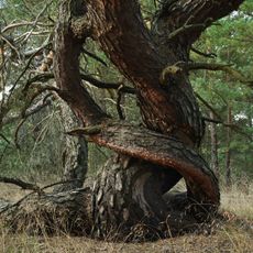
Swatzke und Skabyberge
7.7 km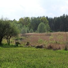
Löcknitztal
6.3 km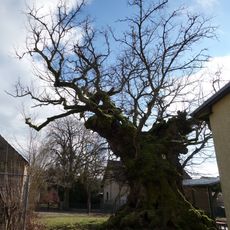
Naturdenkmal Mehrhundertjähriger Rüster Kienbaum,<br />am Kindergarten in Kienbaum
8.9 km
Naturdenkmal Stelzenkiefer Werlsee Grünheide in Grünheide
9.3 kmReviews
Visited this place? Tap the stars to rate it and share your experience / photos with the community! Try now! You can cancel it anytime.
Discover hidden gems everywhere you go!
From secret cafés to breathtaking viewpoints, skip the crowded tourist spots and find places that match your style. Our app makes it easy with voice search, smart filtering, route optimization, and insider tips from travelers worldwide. Download now for the complete mobile experience.

A unique approach to discovering new places❞
— Le Figaro
All the places worth exploring❞
— France Info
A tailor-made excursion in just a few clicks❞
— 20 Minutes