
Rauhes Luch, protected area in the European Union defined by the habitats directive in Brandenburg, Germany
Location: Nuthe-Urstromtal
Inception: 2003
GPS coordinates: 52.14477,13.17014
Latest update: April 18, 2025 13:19
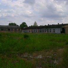
Stalag III-A
6.6 km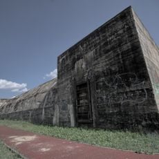
Bunker Luckenwalde Salzgitter
6.3 km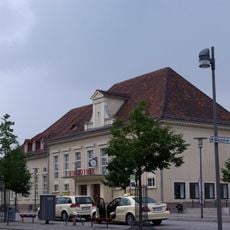
Luckenwalde station
6.1 km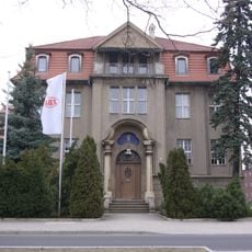
E-Werk Luckenwalde
6.9 km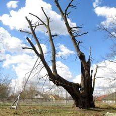
Tausendjährige Linde
7.1 km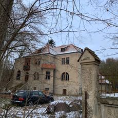
Landwerk Ahrensdorf
6 km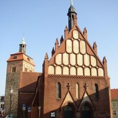
St. Johannis (Luckenwalde)
6.1 km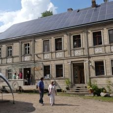
Obermühle
6.7 km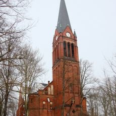
St. Jakobikirche
6.7 km
Vierseithof
6.2 km
Waldfriedhof Luckenwalde
4.5 km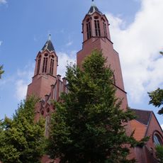
St. Joseph (Luckenwalde)
6 km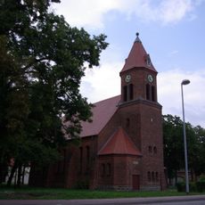
Dorfkirche Woltersdorf
4.1 km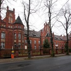
Gebrüder-Heinrich-Stift
5.7 km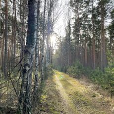
Bärluch
2.7 km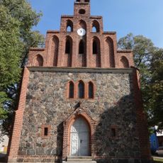
Dorfkirche Hennickendorf
5.2 km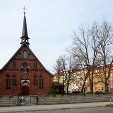
St. Petrikirche
5.8 km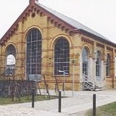
Kunsthalle Vierseithof
6.1 km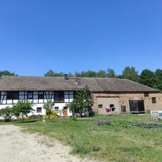
Klinkenmühle
5.9 km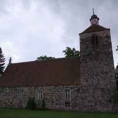
Dorfkirche
5.9 km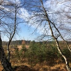
Rauhes Luch
246 m
Forsthaus Lindhorst
6.6 km
Ziegelei (Trebbin)
6.7 km
Finkenberg (Trebbin)
7.2 km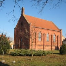
Dorfkirche Liebätz
1.7 km
Vor dem Baruther Tor
6 km
Ausbau Zelle
4.9 km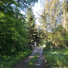
Lenzburg
5.4 kmReviews
Visited this place? Tap the stars to rate it and share your experience / photos with the community! Try now! You can cancel it anytime.
Discover hidden gems everywhere you go!
From secret cafés to breathtaking viewpoints, skip the crowded tourist spots and find places that match your style. Our app makes it easy with voice search, smart filtering, route optimization, and insider tips from travelers worldwide. Download now for the complete mobile experience.

A unique approach to discovering new places❞
— Le Figaro
All the places worth exploring❞
— France Info
A tailor-made excursion in just a few clicks❞
— 20 Minutes