
Stromgewässer, protected area in the European Union defined by the habitats directive in Brandenburg, Germany
Location: Prenzlau
Location: Nordwestuckermark
Location: Boitzenburger Land
Inception: 2000
GPS coordinates: 53.27979,13.65637
Latest update: March 3, 2025 03:43

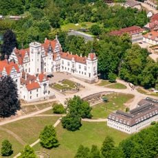
Schloss Boitzenburg
4.2 km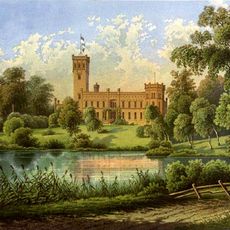
Schloss Arendsee
6.5 km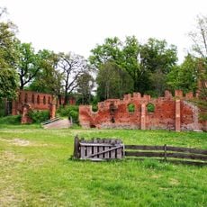
Ruin of Boitzenburg monastery
2.9 km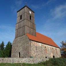
Church in Klaushagen
7.5 km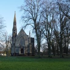
Schlosskirche Kröchlendorff
2.5 km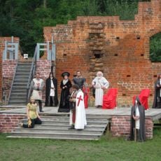
Theater Klosterruine Boitzenburg
2.9 km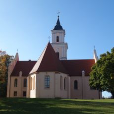
St. Mary's church on the hill
3.8 km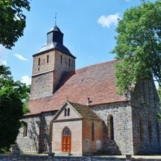
Village church Schönermark
6.7 km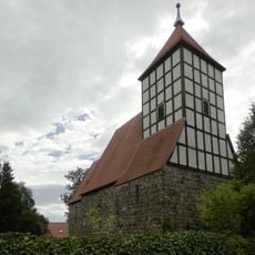
Village church Kuhz
6.5 km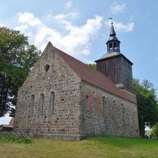
Village church Hardenbeck
7.2 km
Boitzenburger Tiergarten und Strom
3 km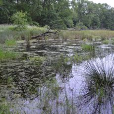
Zerweliner Koppel
3.1 km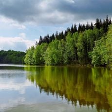
Jungfernheide
8.8 km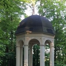
Apollotempel im Schlosspark von Boitzenburg
4.1 km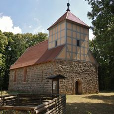
Village church Berkholz
379 m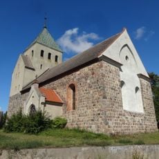
Village church Haßleben
7.6 km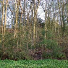
Höhenburg Naugarten
3.6 km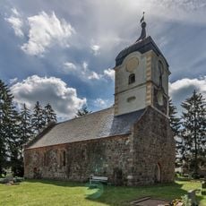
Church in Beenz
5.1 km
Niederungsburg Naugarten
4.2 km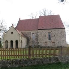
Dorfkirche Gollmitz
5 km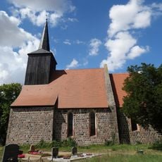
Dorfkirche Schapow
9.2 km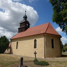
Church in Naugarten
3.5 km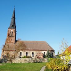
Village church Wichmannsdorf (Boitzenburger Land)
4.2 km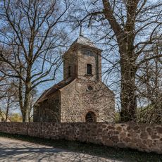
Church in Lindenhagen
8.3 km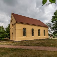
Church in Weggun
7.6 km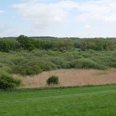
Mellensee-Marienfließ
7.2 km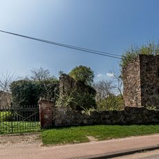
Church in Groß Sperrenwalde
6.7 km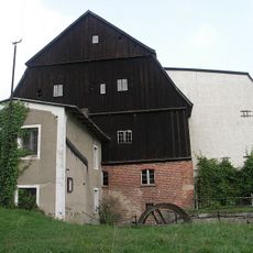
Klostermühle
3 kmReviews
Visited this place? Tap the stars to rate it and share your experience / photos with the community! Try now! You can cancel it anytime.
Discover hidden gems everywhere you go!
From secret cafés to breathtaking viewpoints, skip the crowded tourist spots and find places that match your style. Our app makes it easy with voice search, smart filtering, route optimization, and insider tips from travelers worldwide. Download now for the complete mobile experience.

A unique approach to discovering new places❞
— Le Figaro
All the places worth exploring❞
— France Info
A tailor-made excursion in just a few clicks❞
— 20 Minutes