
Schwarzwald-Westrand von Herbolzheim bis Hohberg, protected area in the European Union defined by the habitats directive in Baden-Württemberg, Germany
Location: Kenzingen
Location: Ettenheim
Location: Ringsheim
Location: Kappel-Grafenhausen
Location: Mahlberg
Location: Kippenheim
Location: Lahr/Schwarzwald
Location: Seelbach
Location: Friesenheim
Location: Hohberg
Location: Offenburg
Inception: 2004
GPS coordinates: 48.31390,7.88175
Latest update: March 21, 2025 06:20
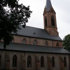
Stiftskirche Lahr
2.9 km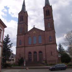
St. Peter und Paul
2.8 km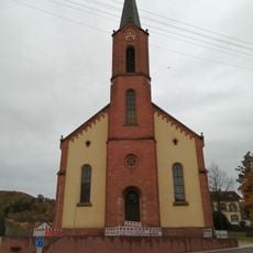
St. Peter und Paul
1.8 km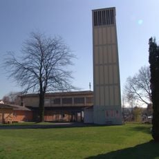
Friedenskirche
2.3 km
Stadtarchiv Lahr
2.7 km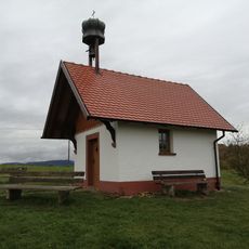
Langenhard-Kapelle
1 km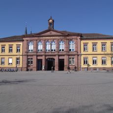
Rathausplatz 7
2.9 km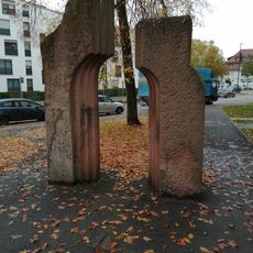
Stadttor
2.8 km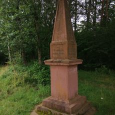
Denkmal zur Erinnerung an die Errichtung des deutschen Reiches
1.9 km
Industriehof
2.7 km
Lotzbeckstraße 11
2.9 km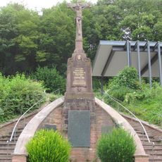
War memorial
1.3 km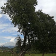
Birne
1.1 km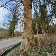
Eichenstockausschlag
2.8 km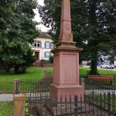
War memorial
1.8 km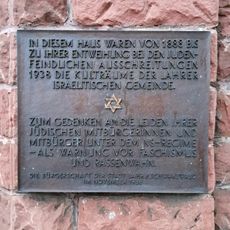
Gedenktafel für das ehemalige Bethaus
2.8 km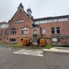
Neuwerkhof 9
2.4 km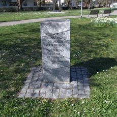
Gedenkstein für die Opfer des Nationalsozialismus
2.9 km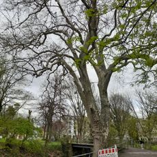
Platane
2.8 km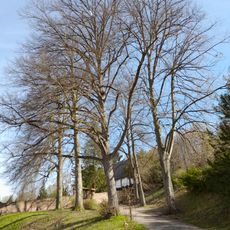
Friedhofsallee
1.3 km
Alte Eiche
1.3 km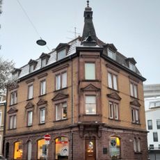
Bismarckstraße 12
2.8 km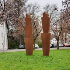
Gefäß + Haus I und II
2.8 km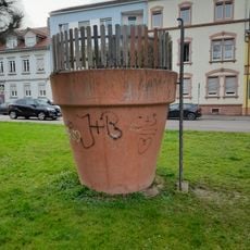
Gartentopf
2.7 km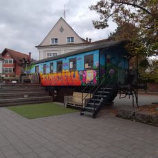
Kulturwaggon
2.8 km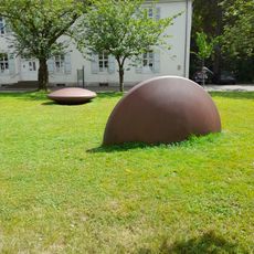
Linse, halbe Linse
2.8 km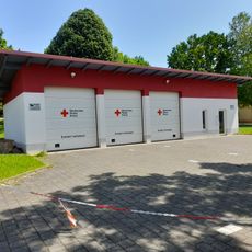
Ziegelbrunnenstraße 43/2
1.6 km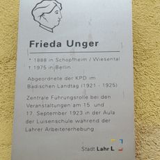
Gedenktafel für Frieda Unger
2.8 kmReviews
Visited this place? Tap the stars to rate it and share your experience / photos with the community! Try now! You can cancel it anytime.
Discover hidden gems everywhere you go!
From secret cafés to breathtaking viewpoints, skip the crowded tourist spots and find places that match your style. Our app makes it easy with voice search, smart filtering, route optimization, and insider tips from travelers worldwide. Download now for the complete mobile experience.

A unique approach to discovering new places❞
— Le Figaro
All the places worth exploring❞
— France Info
A tailor-made excursion in just a few clicks❞
— 20 Minutes