
Sauertal und Seitentäler, protected area in the European Union defined by the habitats directive in Rheinland-Pfalz, Germany
Location: Langsur
Location: Trierweiler
Location: Igel
Location: Ralingen
Location: Minden
Location: Menningen
Location: Echternacherbrück
Location: Ernzen
Location: Irrel
Location: Eisenach
Location: Niederweis
Location: Prümzurlay
Location: Ferschweiler
Inception: 2000
GPS coordinates: 49.79117,6.48388
Latest update: April 13, 2025 19:23
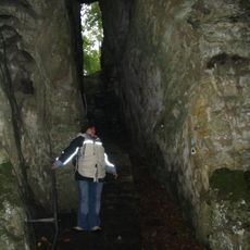
Devil's Gorge
6.9 km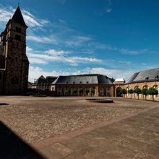
Abbey of Echternach
5.1 km
Rosport
201 m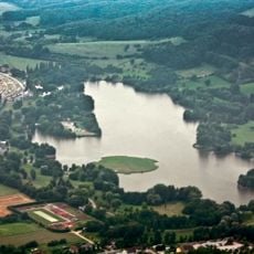
Echternacher See
5.3 km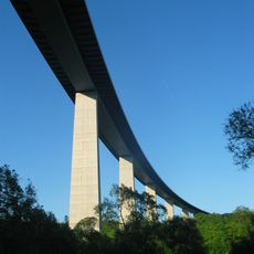
Sauer Valley Bridge
6.6 km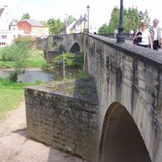
Old Echternach Bridge
4.8 km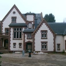
Tudor Museum
1.8 km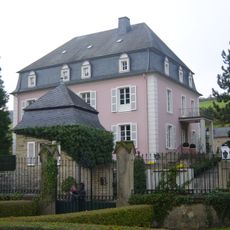
Born Castle
4 km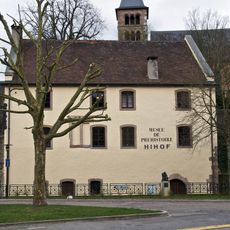
Prehistory Museum, Echternach
5 km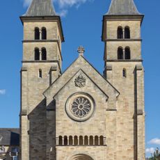
St. Willibrord Basilika
5.2 km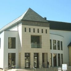
Trifolion
5.2 km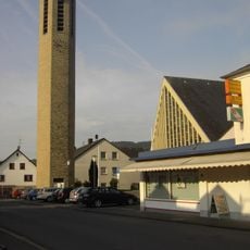
St. Ambrosius
6.4 km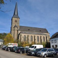
St. Dionysius
6.3 km
St. Martin
2.7 km
St. Jakobus der Ältere (Wintersdorf)
2.2 km
Saint Lambertus Church
2.7 km
St. Antonius der Einsiedler
4.3 km
St.Clemens
5.7 km
Gothic House
5.3 km
Käschtebam zu Iechternach
5 km
Chapelle Notre-Dame des Douleurs Echternach
5.4 km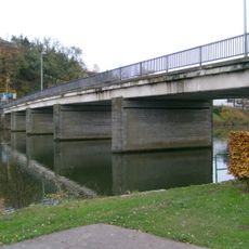
Bréck vu Rouspert
2.4 km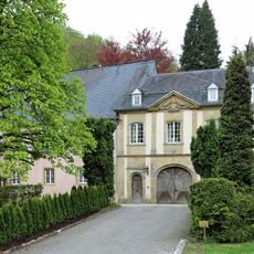
Lauterborn Castle
7 km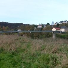
Fousgängerbréck Minden-Steenem
3.5 km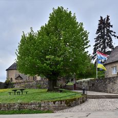
Lann op der Giischterklaus
1.3 km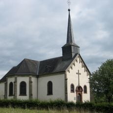
Chapelle de l'Exaltation-de-la-Sainte-Croix
5.4 km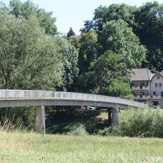
人道橋
5.9 km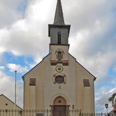
Église Sainte-Marie-Madeleine
1.2 kmReviews
Visited this place? Tap the stars to rate it and share your experience / photos with the community! Try now! You can cancel it anytime.
Discover hidden gems everywhere you go!
From secret cafés to breathtaking viewpoints, skip the crowded tourist spots and find places that match your style. Our app makes it easy with voice search, smart filtering, route optimization, and insider tips from travelers worldwide. Download now for the complete mobile experience.

A unique approach to discovering new places❞
— Le Figaro
All the places worth exploring❞
— France Info
A tailor-made excursion in just a few clicks❞
— 20 Minutes