
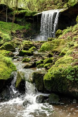
Untere Kyll und Täler bei Kordel, protected area in the European Union defined by the habitats directive in Rheinland-Pfalz, Germany
Location: Trier-Saarburg
Inception: 2003
GPS coordinates: 49.82317,6.64920
Latest update: March 23, 2025 05:39
SWT-Arena
5.8 km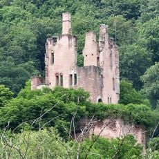
Ramstein Castle
374 m
Exzellenzhaus
6 km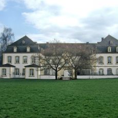
Quinter Schloss
4.2 km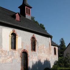
St. Jost, Trier
5.4 km
Burg Pfalzel
5.7 km
St. Maria ad ripa
6 km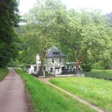
Wasserkraftwerk Kylltal
1.5 km
Pfalzel Stiftskirche
5.7 km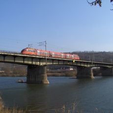
Rail transport bridge Trier-Pfalzel
5.7 km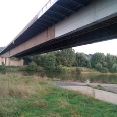
Moselbrücke Ehrang
4.5 km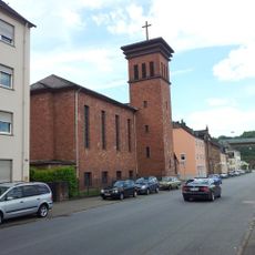
Protestant Church (Trier-Ehrang)
3.4 km
Verteilerkreis Trier
5.8 km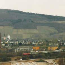
Ehrang station
3.5 km
Kenner Flur
4.8 km
St. Martin
5.7 km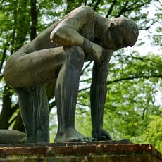
Denkmal für die Opfer der Gewaltherrschaft
6 km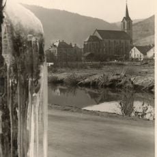
Churches in Kordel
2.2 km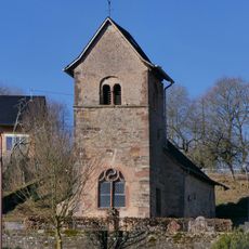
St. Abrunculus (Besslich)
4.2 km
Rothenberg
4.9 km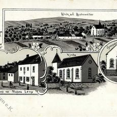
Synagoge
2.1 km
Römischer Grabstein
4.2 km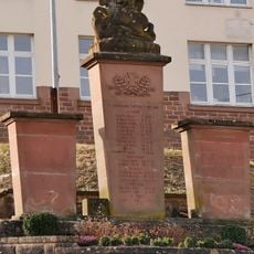
Kriegerdenkmal Aach
5.7 km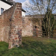
Ortsbefestigung Ehrang
2.9 km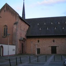
Kirchplatz
5.7 km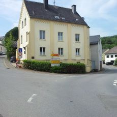
Synagoge Aach
5.6 km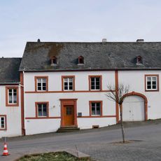
Aach Vicarage
5.7 km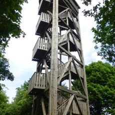
Zemmer Observation Tower
5.8 kmVisited this place? Tap the stars to rate it and share your experience / photos with the community! Try now! You can cancel it anytime.
Discover hidden gems everywhere you go!
From secret cafés to breathtaking viewpoints, skip the crowded tourist spots and find places that match your style. Our app makes it easy with voice search, smart filtering, route optimization, and insider tips from travelers worldwide. Download now for the complete mobile experience.

A unique approach to discovering new places❞
— Le Figaro
All the places worth exploring❞
— France Info
A tailor-made excursion in just a few clicks❞
— 20 Minutes